Monte Pic/Pitschberg (2363 m) is a mountain that rises above Santa Cristina in Val Gardena, Dolomites.
It’s easy to overlook Monte Pic, because it looks like a hill compared to its impressive neighbors. However, if you’re eager to explore lesser-known trails in Val Gardena, the hike to Monte Pic is a surprising treat.
From Monte Pic, the hike descends to the Sëurasas mountain pastures, which are just as spellbinding as the Pic summit.
You can also combine the hike to Monte Pic with the Seceda ridge. That’s what we did and it was marvelous. It’s a long tour, but very satisfying. It’s also a fantastic option for folks searching for a way to hike to Seceda without a cable car.

- Trailhead: Cristauta/Praplan Parking Lot above Santa Cristina in Val Gardena | Google Maps
- Distance: 13.9 km circuit
- Time Needed: 6 hours
- Elevation Gain/Loss: 1064 meters
- Difficulty: Moderate
- Minimum Elevation: 1743 m
- Maximum Elevation: 2499 m
- Trails: 4, 1A, 1C, 6, 1, 2, 6, 20, 41, 4
- Route: Praplan Car Park (1746 m) – Baita Gamsblut (1965 m) – Rifugio Fermeda (2109 m) – Baita Daniel (2240 m) – Mastlé (2284 m) – Baita Sofie – Seceda (2500 m) – Forcella Pana/Panascharte(2439 m) – Baita Troier (2250 m) – Baita Daniel (2240 m) – Cuca saddle (2154 m) – Monte Pic (2363 m) – Baita Sëurasas (2020 m) – Praplan Car Park (1746 m)
- When to Hike: Mid-late June until mid-late October, depending on weather and snow conditions.
- Where to Stay in Santa Cristina: Garni Le Chalet (budget), Smart Hotel Saslong (budget), Charme Hotel Uridl (midrange), Hotel Touring Dolomites (luxury), Dorfhotel Beludei (luxury)
- Recommended Trail Map: Tabacco 05 Val Gardena – Alpe di Siusi
- Recommended Itinerary: Val Gardena Summer Itinerary
Monte Pic Hiking Map
Monte Pic Trailhead
Praplan Car Park
The hike to Monte Pic starts at the Praplan/Cristauta Parking Lot above Santa Cristina.
Drive up Streda Plesdinaz to get to the small car park. Exact Location: Google Maps.
From June 13 until October 9 (between 7 am and 2 pm), there’s a parking fee of 1 EUR/hour or 6 EUR/day. The fee may have increased since our last visit.
You can pay using the EasyPark app, or with a credit card.
Outside of peak season, the parking lot is free. Note: camping/camping vans can’t park here between 8 pm and 6 am, as camping is not permitted.
Monte Pic – Seceda Trail Description
Praplan to Baita Gamsblut (50 minutes)

From the car park, cross the road. There’s a large wooden board with stacked signs indicating destinations with their respected hiking times, trail numbers, and status (open/closed).
Gamsblut is signed 50 minutes along trail 4.
Walk up the gravel track to the trail intersection. When you arrive, turn right and follow signs to Col Raiser (1:20 hours) and Seceda (2:30 hours).
The hiking trail is obvious, because the entrance is marked by a wooden gate with a “Troi dla Schirlates” archway sign. Ignore the road on the left, which runs parallel to the trail.
After just a few meters, you’ll come to another trail intersection. From here, you can turn left onto trail 41 to get to Sëurasas (50 minutes) and Monte Pic, which is the fastest ascent route.
However, we recommend saving that route for the descent. So for now, continue straight on trail 4 and follow the linear path above Val Gardena.
Trail 4 is easy and mostly level. It weaves in and out of the forest, though there are plenty of clearings along the way where you can see Langkofel/Sassolungo, Sella and Mount Stevia.

As you near the Gamsblut hut, the trail ascends more steeply. Shortly before arriving, you’ll walk through another wooden “Troi dla Schirlates” arched gate. Directly after, turn right to Baita Gamsblut (signed 2 minutes).
Baita Gamsblut to Fermeda Hütte (35 minutes)

Walk around Baita Gamsblut and follow trail 1A in the direction of Seceda. The narrow trail steadily climbs up rolling slopes dotted with wooden huts and stone pine trees. As you ascend, you’re progressly towards the Fermeda Peaks.
You’ll pass Baita Neidia, the Fermeda chairlift station, and Baita Cuca, before arriving at Fermeda Hütte. In high season, each hut serves food and drinks. When we visited in early October, only the Fermeda hut was open.
Fermeda Hütte to Baita Daniel (30 minutes)

From Fermeda Hütte, head right, following the ascending path (trail 2) towards Baita Daniel.
After about five minutes, you’ll arrive at the 2/1C trail intersection. Here, you can decide whether you want to hike directly to Monte Pic (trail 2 to Cuca intersection: 20 minutes), or detour to Seceda before hiking to Monte Pic (trail 1C).
We turned right, following 1C to Baita Daniel.
Baita Daniel to Seceda Viewpoint (40 minutes)

There are a few ways to hike from Baita Daniel to Seceda. It can be a bit confusing with all the intersecting roads and trails, but just keep heading uphill.
At Baita Daniel, head left and ascend along the wide track towards Mastlé hut. When you reach Mastlé hut, turn right and continue ascending. When the trail intersects with the road, turn right again and shortly thereafter turn left to Baita Sofie and Seceda.
When you arrive at Baita Sofie, it feels like you either missed the invitation to the cocktail party, or you’re fashionably late. Each time we pass by this hut, we see people melting into their lounge chairs whilst drinking bottles of wine and champagne. I can’t decide if it’s perfectly swell, or comically absurd. Join the revelry, and you can choose from 300 labels of the best wines from around the world.
The hike continues to the Seceda cableway mountain station. When you get there, follow signs to the Seceda viewpoint (10 minutes). Atop Seceda, you’ll be instantly captivated by the sharp Fermeda peaks.
From this impressive vantage point, the Geisler Group looks like an open swiss army knife, ready to be wielded by some great force.
Seceda to Baita Troier (30 minutes)

Continue following the trail along the ridge and then join trail 6 to the Panascharte/Forcella Pana. The trail leading over the “Scharte” (notch) descends steeply to Val di Funes. Unfortunately, this trail is currently closed due to rock fall.
From the notch, turn right, following the descending path (trail 1) in the direction of Trojer Hütte/Baita Trojer (spelled “Troier” in hiking maps), signed 20 minutes.
At the next intersection, turn right again and descend to Baita Troier on trail 1 (5 minutes).
The left trail leads to Pierlongia Hütte, which is another worthy destination, but save it for another day (see this Seceda to Regensburger Hütte loop hike).
Baita Troier to Monte Pic (1:20 hours)

Say hi to the resident goats at Baita Troier and make your way back to Baita Daniel (15 minutes). When you’ve reached Baita Daniel, follow signs to Baita Curona.
You’ll hike along trail 2 all the way until the Cuca intersection. At Cuca, turn left in the direction of Monte Pic (trail 6). The right trail leads to Baita Curona.

It’s a 40-minute ascent to the Monte Pic summit. After such easy-going hiking until this point, the steep hairpin ascent feels like a surprise.

The summit of Monte Pic (2363 m) is marked by a bench.
Enjoy the panoramic views of the Odle/Geisler Group, Monte Stevia, the Cir Peaks, Selva di Val Gardena, the Sella Group, Cima della Vezzana (the highest peak in Pale di San Martino), Sassolungo/Langkofel, Alpe di Siusi/Seiser Alm, and the Catinaccio/Rosengarten mountains.

Monte Pic to Baita Sëurasas (30 minutes)

From the summit, descend along the ridge to the Sëurasas alpine pastures. When you reach a trail intersection, turn left on trail 20 to Baita Sëurasas.
It’s a soul-captivating 15-minute walk across grassy pastures to the Sëurasas hut.
Baita Sëurasas to Praplan/Cristauta Car Park (30-40 minutes)
Kati and I lingered way too long on Monte Pic. So by the time we made it to Baita Sëurasas, it was nearly dark.
We recommend timing your hike so that you catch the sunset at Baita Sëurasas.
The fastest way to return to the Praplan parking lot is on trail 20, followed by trail 41. We completely missed trail 41, so we continued along 20 and then trail 4 to get back to the parking lot.
Where to Stay in Val Gardena
Santa Cristina
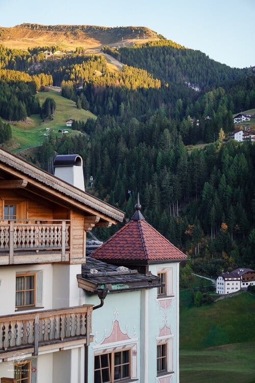
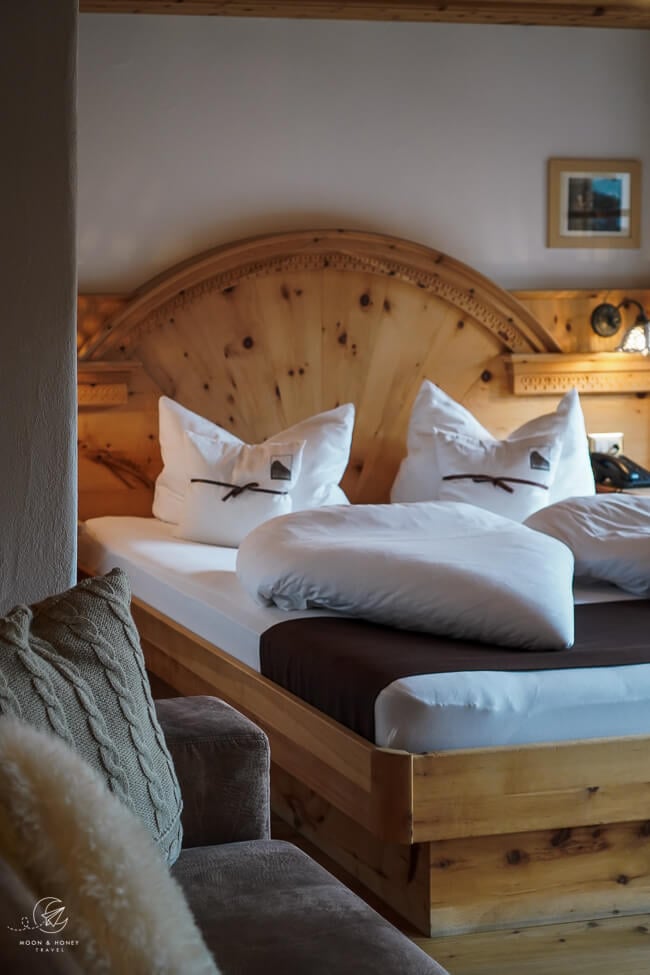
Budget | Hotel Garni Ruscel is a great-value bed and breakfast in Santa Cristina. 4 nights minimum stay in high season.
Budget | Bed & Breakfast Kaserer is a charming B&B with clean, traditional rooms and excellent hospitality. 3 nights minimum stay.
Budget | Garni Le Chalet is a traditional guesthouse in Santa Cristina. Stay here for the cozy atmosphere and affordable room rate. Breakfast is included.
Budget | Smart Hotel Saslong is a no-frills hotel in Santa Cristina featuring modern, minimalist interiors decorated in local wood. Guests have access to a self-service bar, free parking (indoor and outdoor), and on-site restaurant serving local cuisine. This is a perfect place to stay if you’re traveling with friends. Book breakfast!
Midrange | Charme Hotel Uridl is a family-run hotel set in a mountain chalet dating back to the 17th century. Stay here for the cozy and quaint atmosphere and delicious breakfast buffets and dinners.
Luxury | Dorfhotel Beludei is the finest hotel in Santa Cristina and one of the best hotels in the Dolomites. With inspiring mountain views, gorgeous alpine-style rooms, hiking trails right on the doorstep, and a chef that puts ingenious and creative riffs on regional cuisine, this darling hotel is quite the Dolomites dream. We also loved the spa area and indoor pool. Breakfast, marende (afternoon snack), and dinner are included in the rate. Read our Dorfhotel Beludei hotel review.
Luxury | Hotel Touring Dolomites is an excellent, family-run hotel with a new spa, rooftop pool, modern rooms, and a fine dining restaurant (half board available).
Look for accommodation in Santa Cristina.
Selva di Val Gardena

Budget | Family-run Hotel Garni Morene is a clean and comfortable guesthouse, set in an idyllic location outside the town center of Selva. Stay here for the unbeatable price, mountain views, and hospitality. Breakfast included.
Budget | Garni Sunela B&B is an immaculate bed and breakfast with spacious rooms, a spa, bar, parking garage, and a phenomenal breakfast, including fresh eggs from the resident chickens. Check-in is only until 7 pm.
Midrange | Garni Hotel Bel Vert is a B&B in Selva, located on the Biancavieve Slope, outside the town center. Rooms are beautiful and spacious. There’s even a small spa. 3 nights minimum stay.
Midrange-Luxury | Hotel Freina is a welcoming family-run hotel in Selva with an excellent on-site restaurant (serving vegan, vegetarian, gluten-free options), wonderful spa, and free garage parking.
Luxury | Linder Cycling Hotel stands out with its bold architecture, stylish urban accents, and laid-back atmosphere. Beyond the captivating design, Linder Cycling Hotel boasts excellent facilities, including a rooftop terrace, indoor pool, bar and the à la carte Luis Eatery restaurant.
Luxury | Hotel Tyrol is a traditional alpine hotel centrally located in Selva. The hotel’s restaurant offers creative interpretations of Ladin tradition with a Tuscan twist. Stay here for the cozy ambience, the wellness area (saunas, indoor and outdoor heated pool, indoor and outdoor whirlpool, salt cave with chromotherapy), and comfortable rooms. Outdoor parking is free and garage parking is an extra charge.
5-star Luxury | Hotel Granbaita Dolomites is an ode to alpine elegance. This stately hotel pampers guests with its lavish rooms, extensive spa area (7 saunas, indoor-outdoor pool, fitness room, spa), and decadent tasting menus. Book half board.
Look for accommodation in Selva di Val Gardena.
Val Gardena Guides
Travel Guides:
Hiking Trails:
- Best Hikes in Val Gardena
- Steviola Plateau Hike
- Resciesa to Seceda
- Seceda Ridgeline Hike
- Col dala Pieres
- Lake Pisciadù Hike
- Piz Duleda
- Vallunga Valley and Val de Chedul
- Sassolungo Circuit Trail
- Steviola Plateau Hike
Via Ferratas:
- Via Ferrata Oskar Schuster (Grade B/C)
- Via Ferrata Sass Rigais (Grade B/C)
- Gran Cir (Grade A)

Pin this Image for Future Trip Planning!
Stay Connected:
Connect with us on Pinterest.
Follow us on Instagram.
Like us on Facebook.
Support Us:
If you love reading my content, you can send me a direct donation.



hey! during the hike, will there be signs indicating which trail is which?
Hi Harry,
Signs usually indicate direction to destinations (alpine pasture huts, cableways, etc…).
-Sabrina
Hey, in what month did you go? I see snow and I’m curious if it’s late October or even later?
Hi Lorena,
We hiked to Monte Pic in early October.
Best,
Sabrina
Hey, is it possible to do the hiking in late May? Or the trail will be closed during certain period?
Hi,
It’s likely possible, but there still may be some snow on the trail.
– Sabrina
I was here last week (around the 20th June). Sort of did this walk by accident – starting in Ortisei we made it up to Chiesa di San Giaocomo / St Jakob’s Kirche and then just decided to keep going! We went up via Balest, Seurasas (not taking the detour to the Baita) and then to Monte Pic.
It’s a bit of a slog up from town as it’s over 1km of vertical gain, pretty steep all the way through the forest, but agree that the view at the top is absolutely stunning. We then had lunch at the (relatively) small Baita Curona (nice terrace, friendly guys running it), before heading down to the intermediate Furnes lift station (a bit of a knee-shattering downhill section, but only 40 mins or so).
Hey, did you need special equipment to walk there besides hiking poles?
How did you navigate? Do you recommend certain maps or apps for this?
Hi Freek,
We recommend wearing sturdy hiking boots. No other special equipment is needed.
The trail is signed. Buy the Tabacco 05 Val Gardena trail map for navigation.
Enjoy!