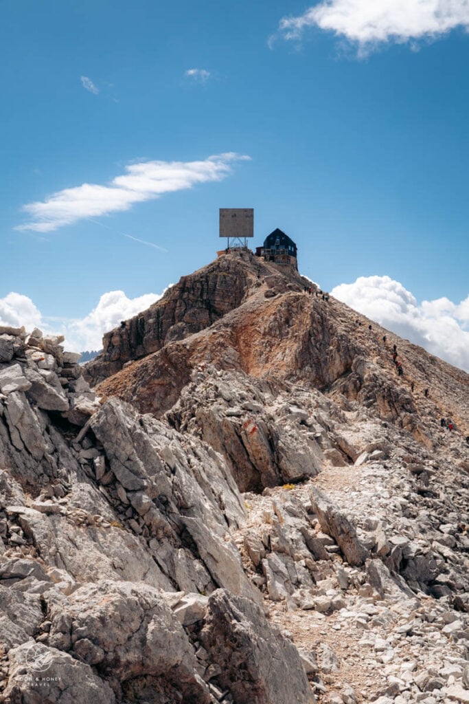
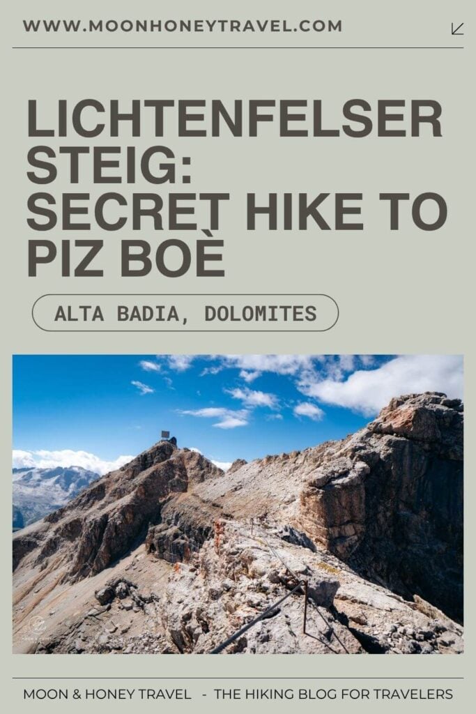
Many trails lead to Piz Boè (3152 m), the highest peak in the Sella Group. To avoid most of the crowds, I hiked to Piz Boè via the Lichtenfelser Steig (Grade A/B), starting in Vallon, high above Alta Badia. The highlight of this challenging and lonesome route is the final stretch along the airy Cresta Strenta ridge.
This hike is for experienced alpine hikers only, who have no fear of heights and are comfortable with unsecured exposure.
- Starting Point: Boè Cable Car, Corvara | Google Maps
- Trailhead: Vallon chairlift mountain station
- Distance: 7.1 km circuit
- Time Needed: 5 hours
- Elevation Gain/Loss: 770 meters
- Difficulty: Challenging (T4 / Grade A)
- Lowest Point: 2497 meters
- Highest Point: 3152 meters
- Where to Stay in Corvara: Residence Villa Trieste (apartments), Hotel Marmolada (4-star hotel), or Berghotel Ladinia (guesthouse)
- Recommended Itinerary: 10-14 Day Dolomites Itinerary
Vallon to Piz Boè Hiking Map
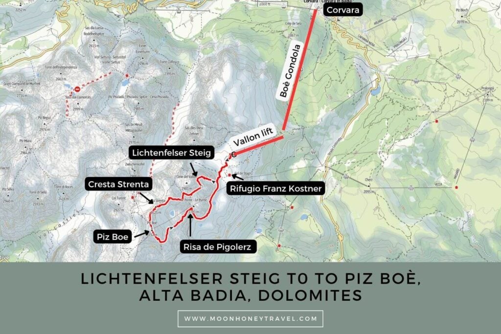
Essential Trail Info
Starting Point | To access the Lichtenfelser Steig, head to the Boè gondola valley station in Corvara. There are ample paid parking spots nearby.
Getting to the Vallon Trailhead | To get to the trailhead, ride the Boè Gondola followed by the Vallon chairlift. Purchase a combi up & down ticket at the Boè valley station.
Hiking Season | July, August, and maybe September, depending on snow conditions. This is a hike that you should only tackle in snow-free conditions on a stable day. If there is a chance of a thunderstorm, please do not attempt it.
Trail Direction | I recommend hiking up the Lichtenfelser Steig and returning via Trail 638.
Difficulty | This is a very challenging tour. Though the secured sections are only graded A/B, the whole hike requires stamina and comfort with exposure, deep scree, and scrambling. For me, the most difficult passages were several exposed steps along the airy Cresta Strenta ridge (Trail 672) and descending the scree-filled gully of Risa de Pigolerz (Trail 638).
Where to Eat | Rifugio Capanna Piz Fassa or Rifugio Franz Kostner
Special Equipment | The Lichtenfelser Steig is classified as a Sentiero Atterzzato (secured trail) rather than a Via Ferrata. Nonetheless, bring your via ferrata kit to be safe. I wore my climbing helmet and climbing gloves.
Safety | Only attempt this when the trail is completely snow-free, as navigation would be extremely difficult in this high-alpine, lunar landscape without clear visibility.
Lichtenfelser Weg Trail Description
Trail 672 Lichtenfelsersteig | Vallon – Piz Lech Dlacè – Cresta Strenta – Piz Boe (2:10 – 3 hours)
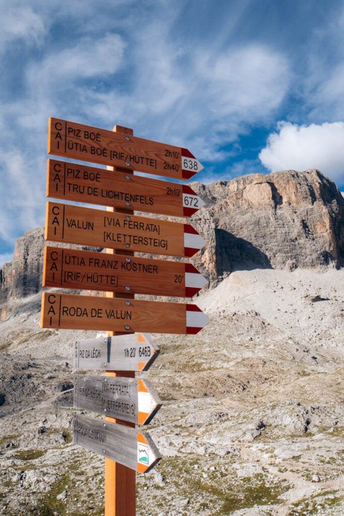
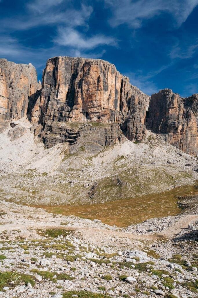
Ride the Boè gondola followed by the Vallon chairlift to reach the Vallon Basin. Follow signs to Piz Boè.. Bypass the Franz Kostner hut and bear right, following Trail 638. Ignore the turn-off to the Vallun Ferrata and Roda de Valun.
At the Trail 638/672 junction, turn right on Trail 672 to start the Lichtenfelserweg (Tru de Lichtenfels), signed 2 hours to Piz Boè.
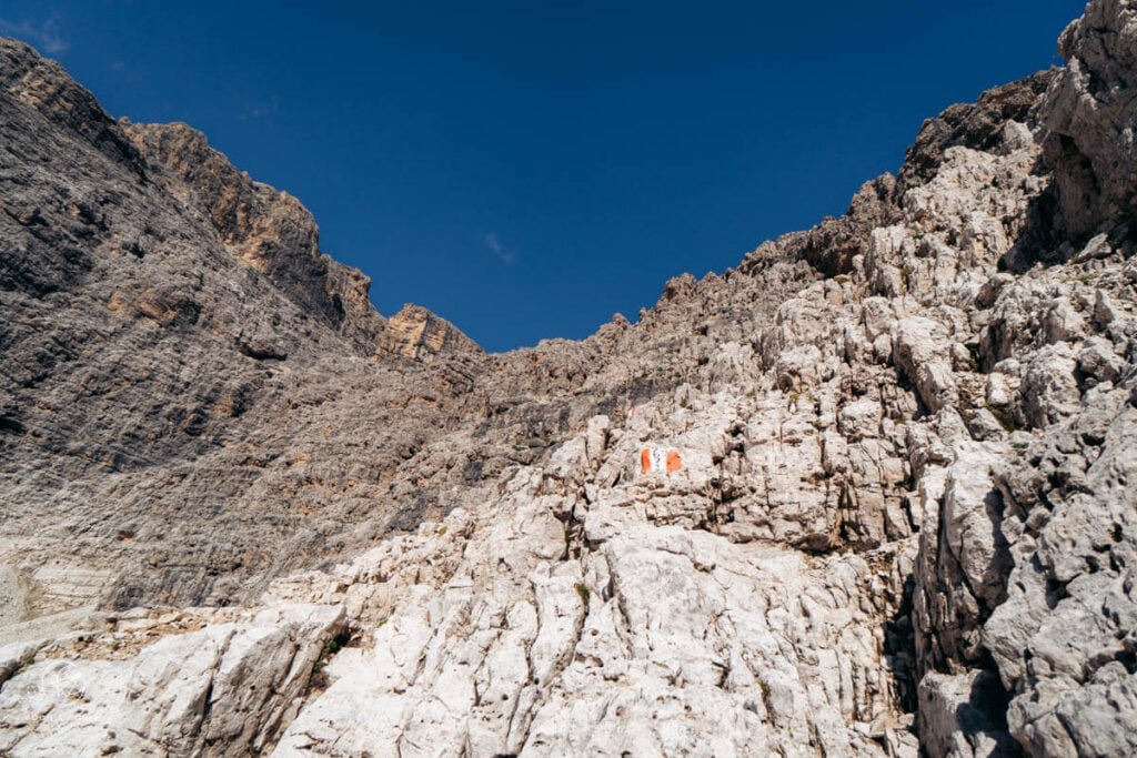
The trail steadily ascends a scree-filled cirque to a rock wall, where the first steep scramble commences. The trail ascends, alternating between cable-aided passages (Grade A) and free scrambling karst rock steps.
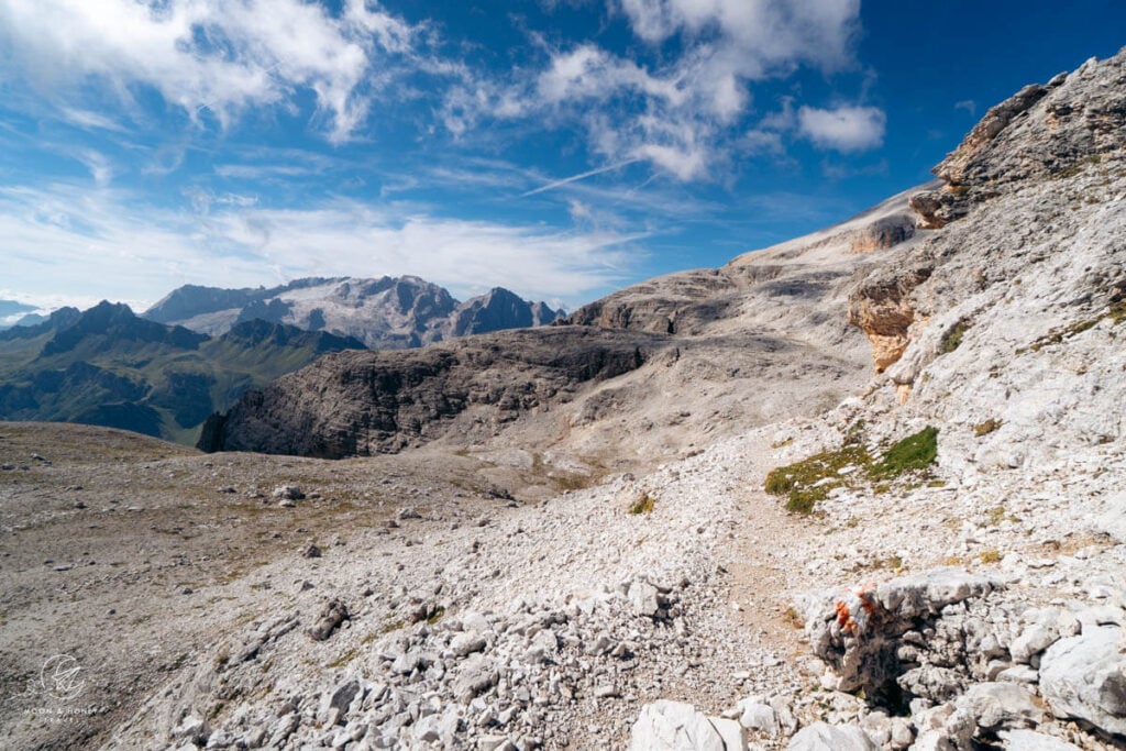
After about 20 minutes, the trail eases. A scree traverse develops into a ledge-balcony path, which brings you to another fixed-cable passage. When the cables end, turn right and shortly thereafter left to resume balcony traverse, facing Civetta, Pelmo, and later Marmolada and Piz Boe.
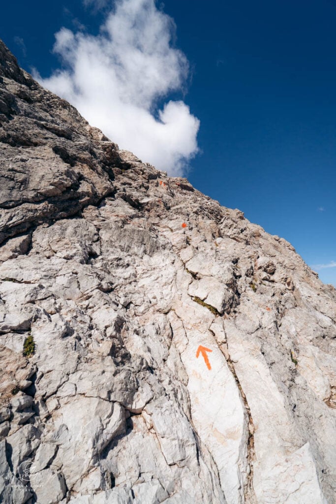
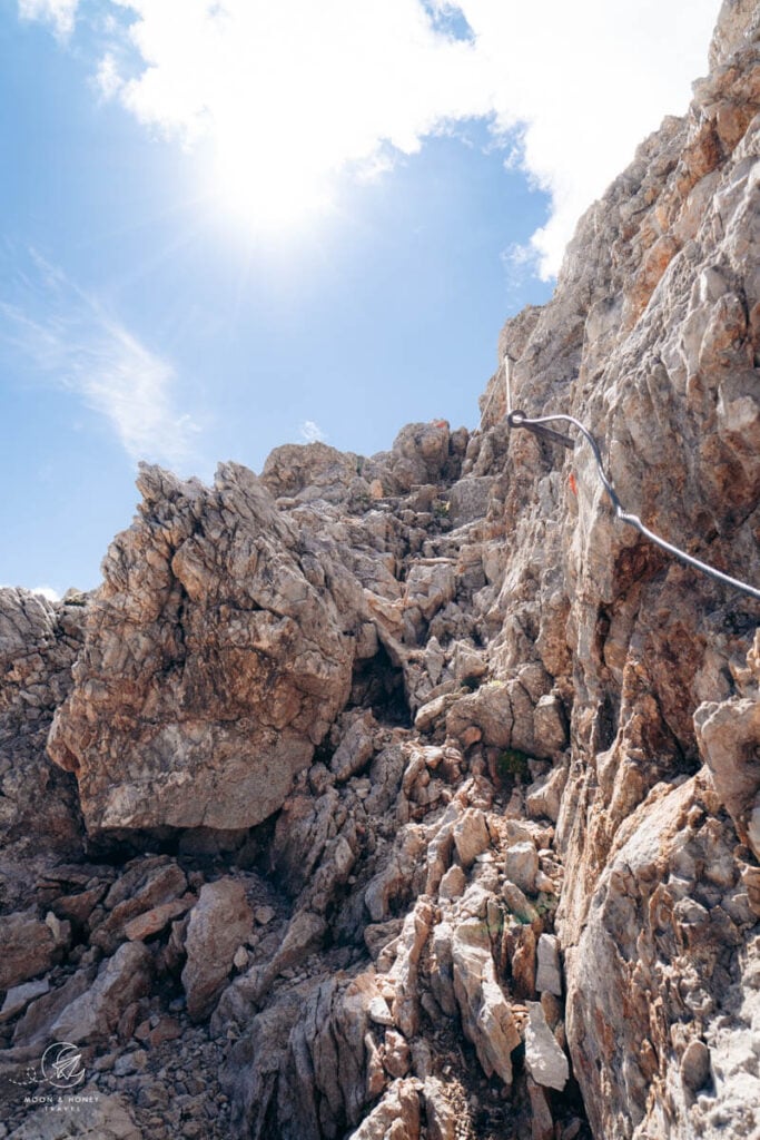
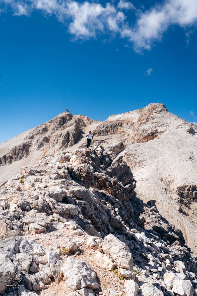
A trail sign indicates the direction of Cresta Strenta. After an easy traverse across a high plateau, the trail turns into a scramble. Following the cairns, waymarks, and cables, climb up to the summit of Piz Lech Dlacè (Eisseespitze), 3009 m, where you can admire Lech Dlacè (Eissee) on your left and Bamberger Hütte (Rifugio Boe) on your right.
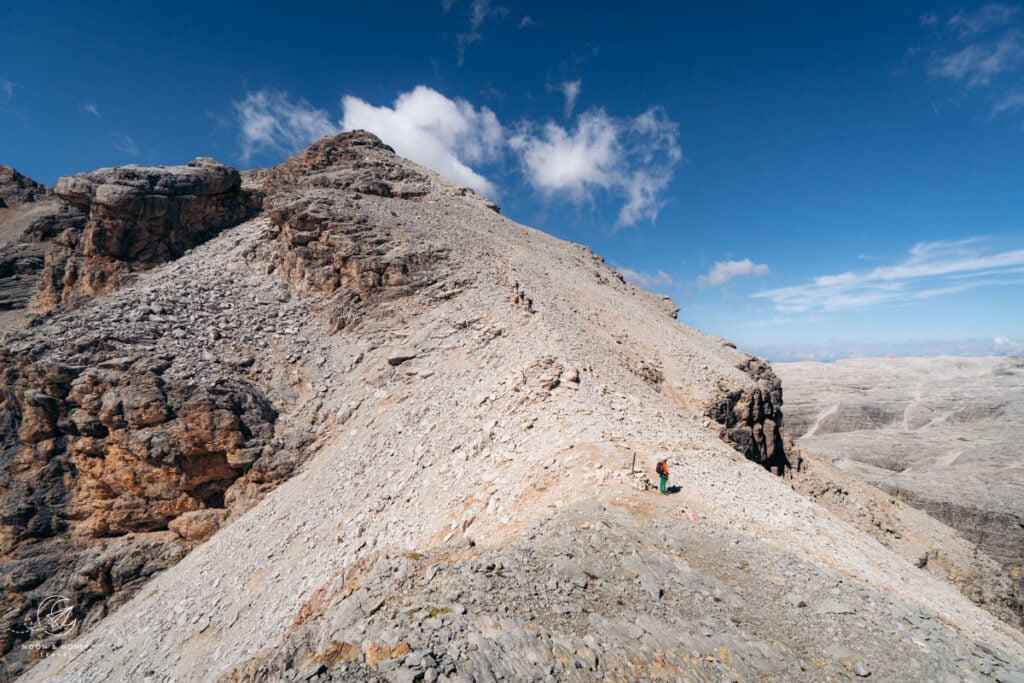
Hike across the airy ridge and drop down to a wind gap between Piz Lech Dlace and Cresta Strenta. From here, continue straight up the scree slope of Cresta Strenta. When you reach the ridge, continue along the exciting cable-aided path. When the cables end, you’ll need to free-scramble for a few meters before the trail broadens into a more comfortable width. It’s spectacular.
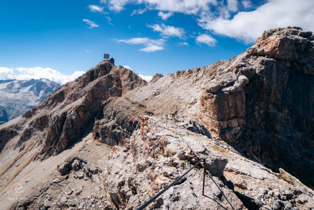
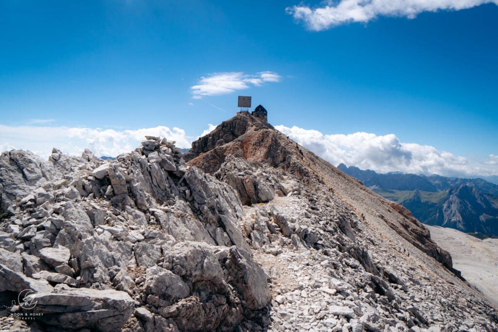
Eventually, the Lichtenfelser Steig converges with the busy Trail 638 at Forcella dai Ciamorces (3110). Follow the stampede to the summit, dominated by Rifugio Capanna Piz Fassa.
Trail 638 | Piz Boe – Risa de Pigolerz – Franz Kostner Hut – Vallon (1:30 – 2 hours)
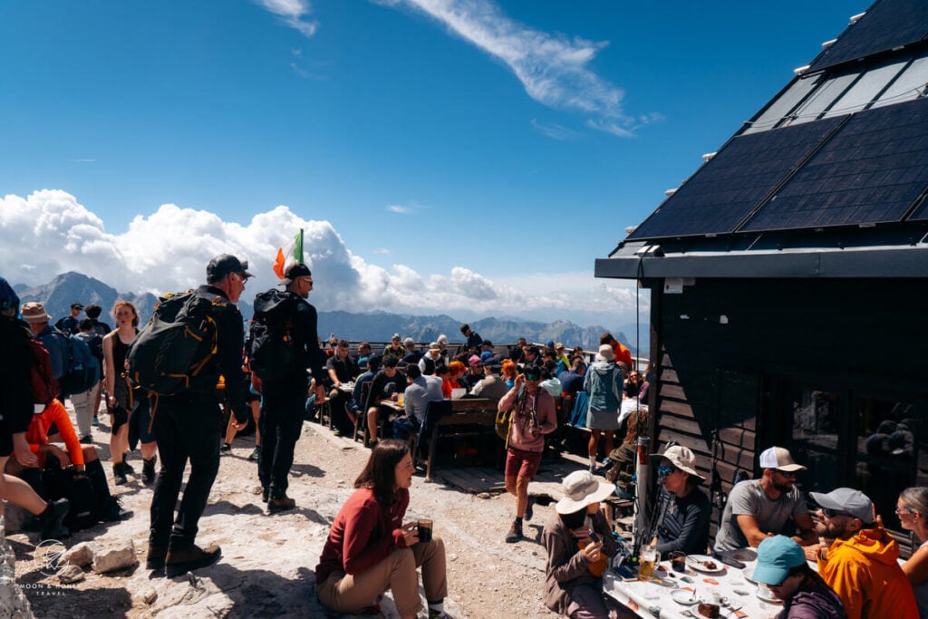
After passing the hut terrace, the trail divides. Take the left path, Trail 638, in the direction of Rifugio Kostner, signed 1:30 hours.
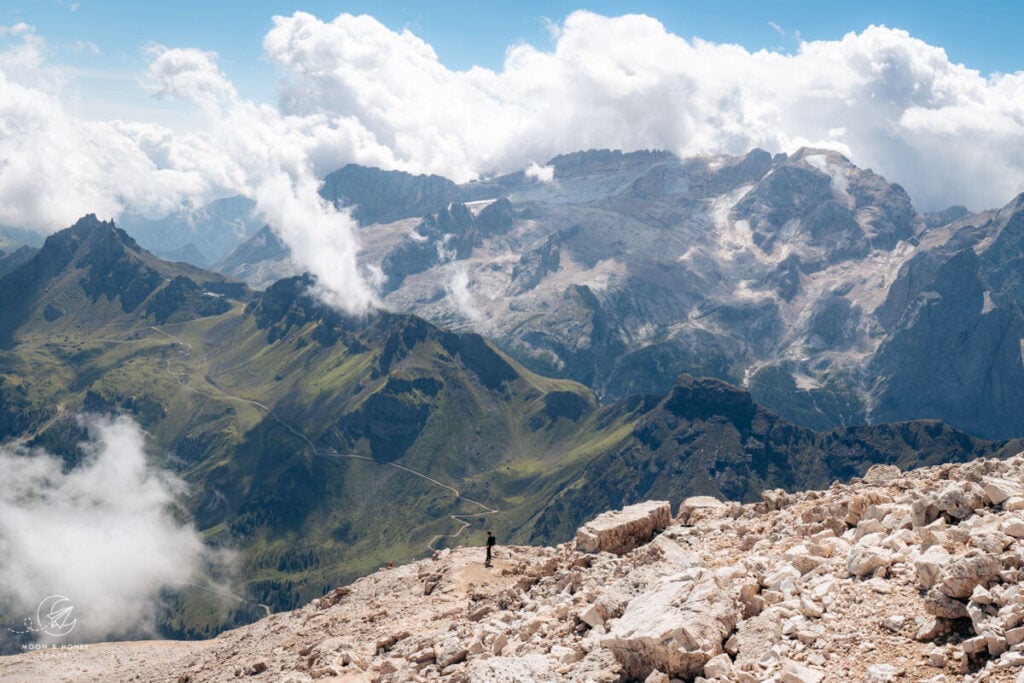
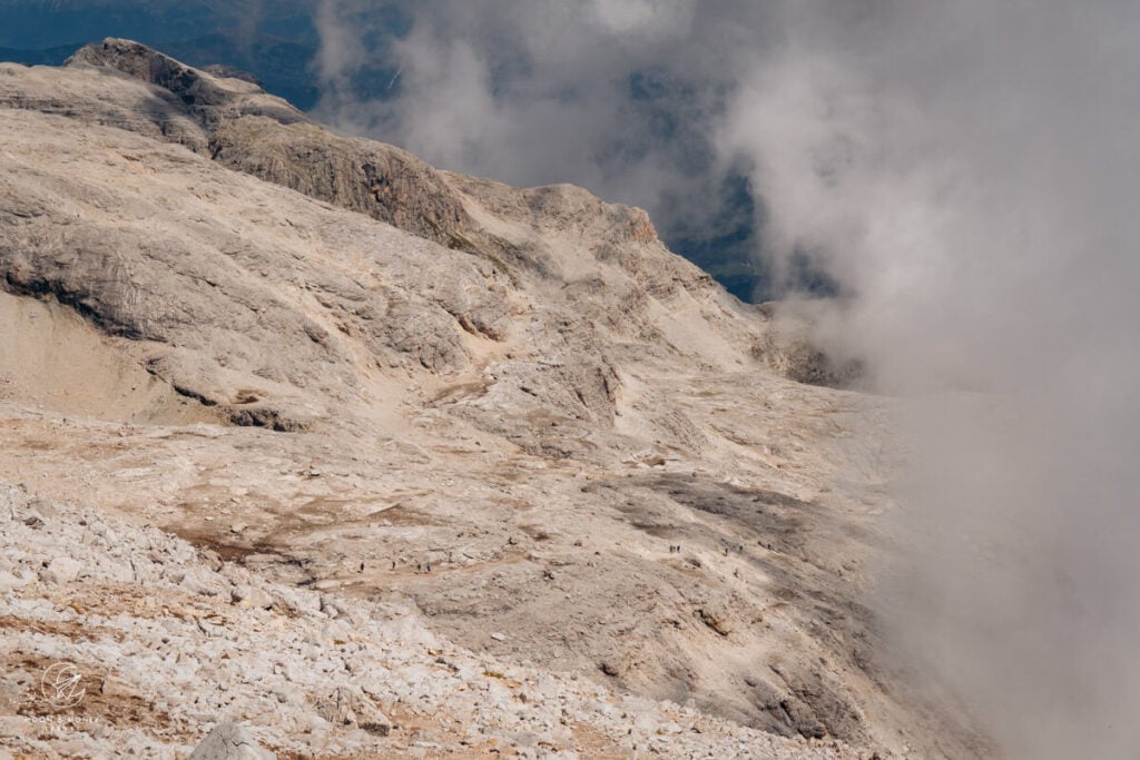
The trail twists down the southwest scree flank of Boe, sometimes in a braid. It’s a pain-in-the-ass.
A cable-assisted path helps you descend a slippery step. Afterwards, it’s quite straightforward walking across the barren lunar rockscape of Sella.
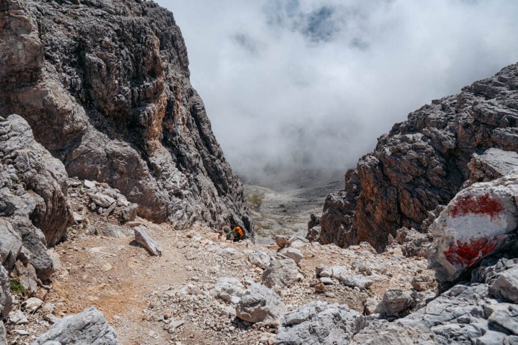
A whimsical-looking bench signals the start of the Risa de Pigolerz gully trail. This is the worst part of the hike. Carefully descend the steep, scree-filled gully, using the cables as much as possible. Eventually the cables end, and you’ll have to use your excellent trail intuition to safely freestyle down the deep scree.
Eventually cross back to the left wall to resume the hike to Franz Kostner Hut. The worst is over, and you can enjoy the very pleasant balcony path beneath rocky overhangs back to Vallon (30 minutes).
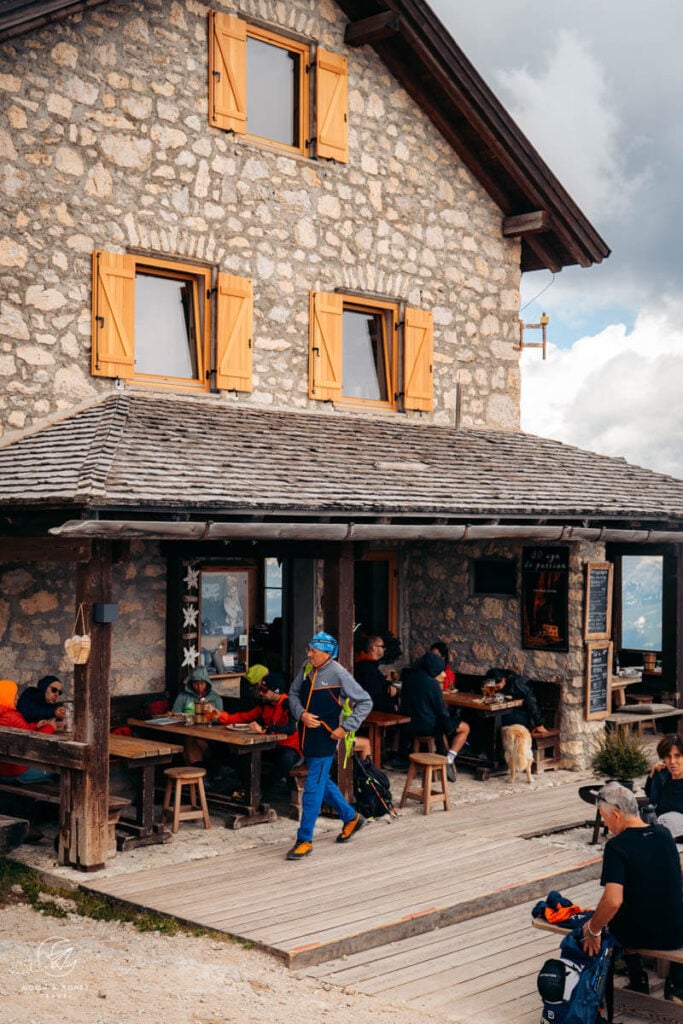
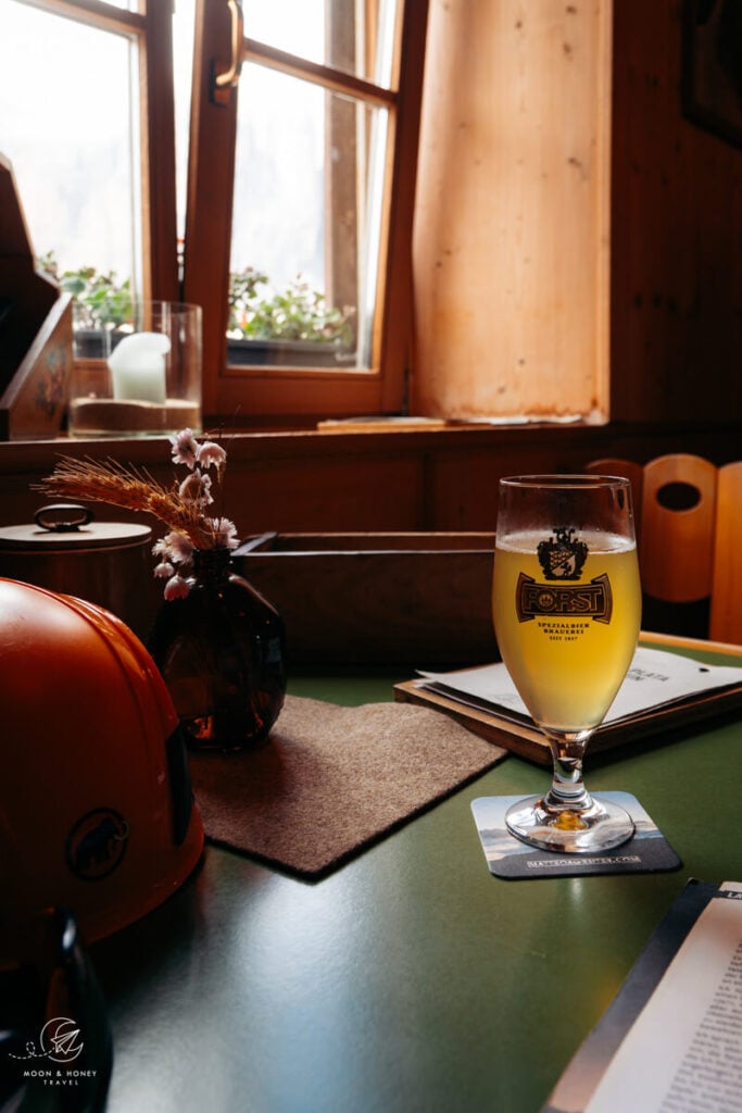
Detour to the friendly Rifugio Franz Kostner hut for lunch, before riding the chairlift and gondola back down to Corvara.
Where to Stay in Corvara
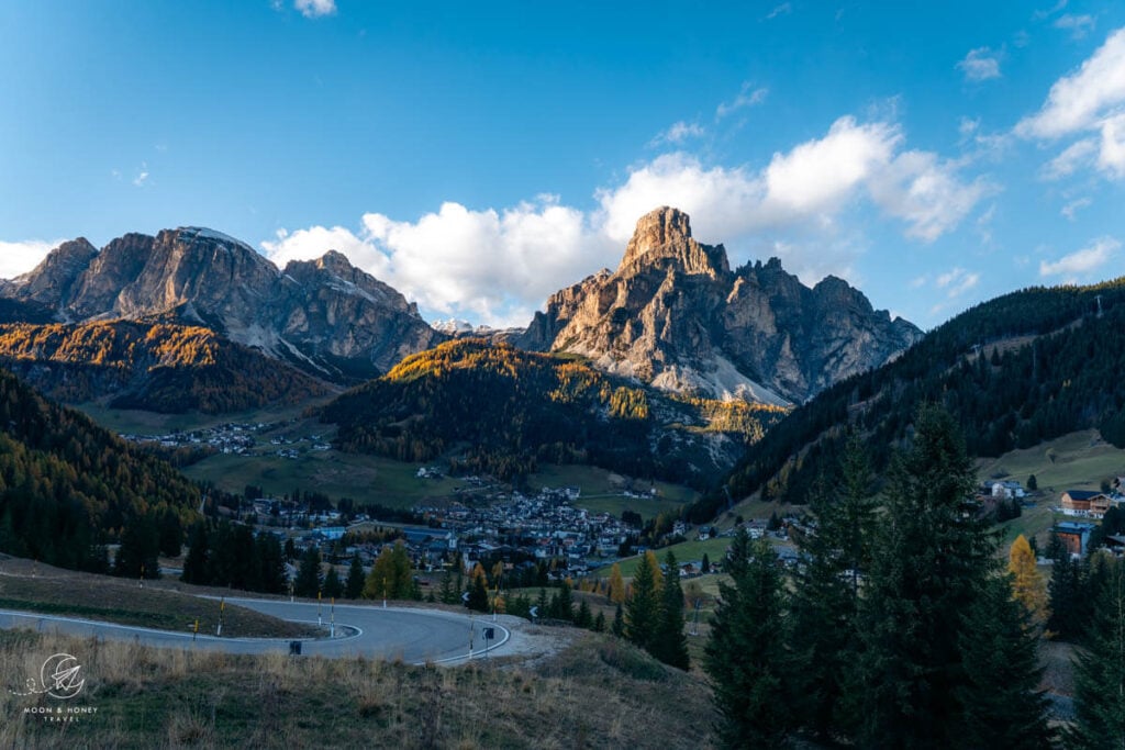
Garnì La Tranquillitè (B&B) and Hotel Arkadia (adults-only 4-star hotel) are both located a stone’s throw from the valley station of the Boè cable car. In winter, these are among the most coveted accommodations in Corvara, thanks to their prime position directly on the Sella Ronda Ski Circuit. In summer, however, their appeal is somewhat diminished by the surrounding ski infrastructure.
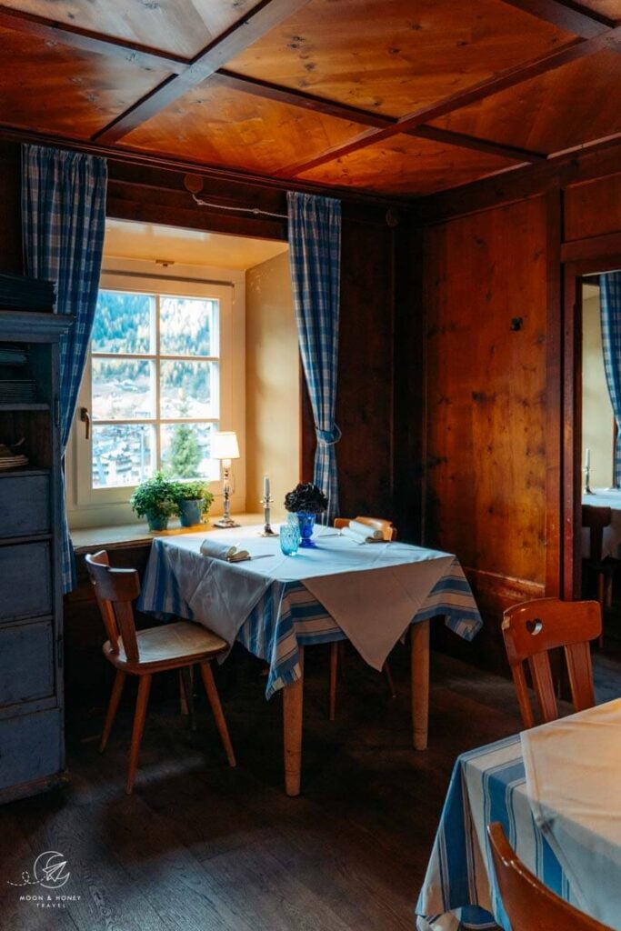

I recommend taking a look at these Corvara town center accommodations, all within walking distance of the Boè cable car: Residence Villa Trieste (apartments), Hotel Marmolada (4-star hotel), Ciasa De Munt Lifestyle Living (4-star hotel), Berghotel Ladinia (guesthouse with restaurant), and Hotel La Perla (5-star hotel).
If you’re traveling by car, also check out accommodations in the Pescosta hamlet above Corvara: Residence Angelika (3-star hotel) and Hotel Pradat (3-star hotel).
Related: Where to Stay in Alta Badia
Dolomites Travel Guides
Alta Badia Travel:
Val Badia Hikes:
- Störes Meadows, Pralongia Plateau Hike (easy)
- Path of the Larches (easy)
- Armentara Meadows Hike (easy)
- Lake Lagazuoi Hike (moderate)
- Sass da Ciampac Summit Hike (moderate)
- Rifugio Puez Hike (moderate)
- Rifugio Fanes Hike (moderate)
- Lungiarü – Ütia Ciampcios (moderate)
- Sass de Putia Circuit Hike (moderate)
- Lake Pisciadù Hike (difficult)
Via Ferrata Routes around Alta Badia:
- Gran Cir (Grade A)
- Sassongher Peak (Grade A/B)
- Kaiserjägersteig to Lagazuoi (Grade A)
Dolomites
Pin this Image for Future Trip Planning!
Stay Connected:
Connect with us on Pinterest.
Follow us on Instagram.
Like us on Facebook.
Support Us:
If you love reading my content, you can send me a direct donation.