Tucked away in a side valley of Val Badia, Lungiarü (Longiarù in Italian and Campill in German) serves as a secret gateway to Puez-Odle Nature Park. The Lungiarü – Ütia Ciampcios – Kreuzjoch circuit trail is a wonderful introduction to this quiet corner of the Dolomites.
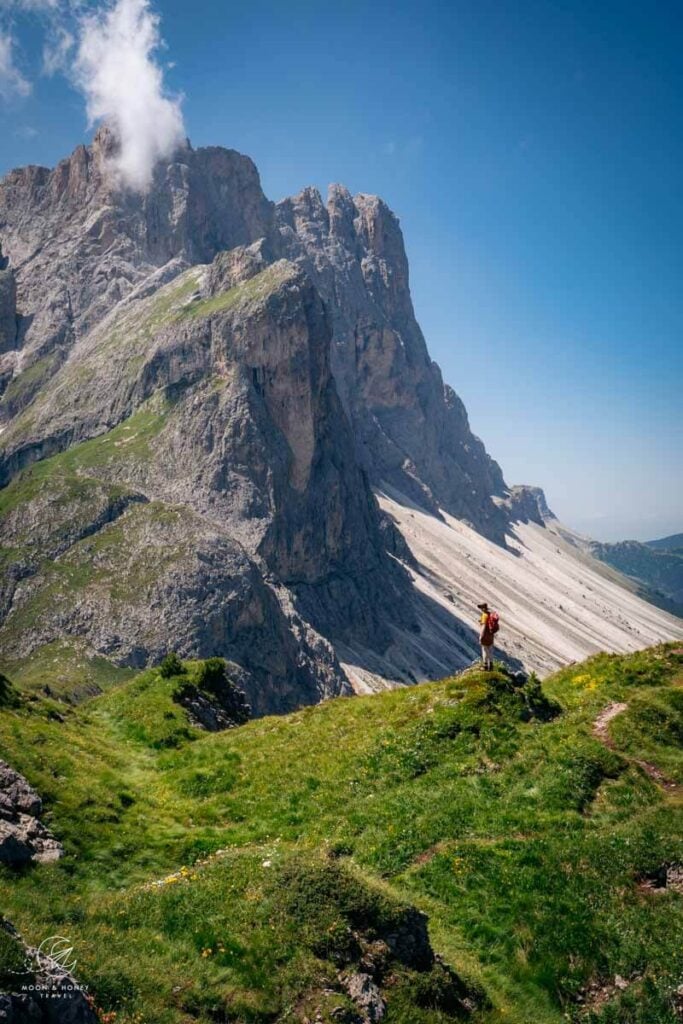
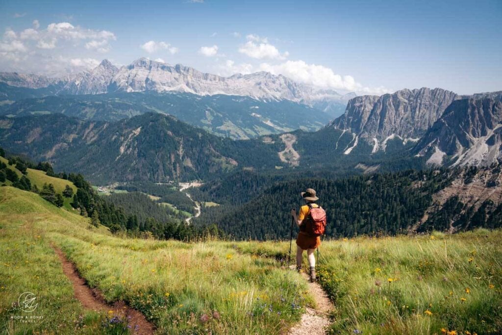
Whether you complete the circuit, or hike to Ütia Ciampcios and Kreuzjoch out-and-back, you’ll be rewarded with jaw-dropping views of Piz Duleda and other prominent Puez peaks.
This hike is especially beautiful in October.
- Trailhead: Pares Car Park Car Park in Lungiarü, Dolomites | Google Maps
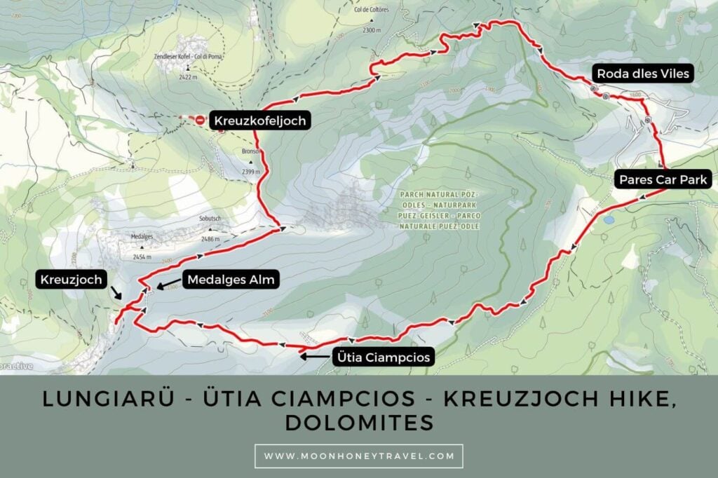
- Distance: 13.3 km circuit
- Time Needed: 5 hours
- Elevation Gain/Loss: 920 meters
- Difficulty: Moderate-Moderately Difficult
- Lowest Point: 1529 meters
- Highest Point: 2421 meters
- Where to Stay in Lungiarü: Les Dolomites Mountain Lodges (aparthotel), Lüch de Vanc (3-star hotel), or Berghotel Sanví (4-star hotel)
Ütia Ciampcios Hiking Map
Essential Trail Info
Trailhead | This hike starts at Pares Car Park in Lungiarü Valley. You can pay for parking with the EasyPark app or at the parking machine.
Hiking Season | June – October, depending on snow conditions. Ütia Ciampcios stays open until mid-late October so long as conditions are stable.
Trail Direction | I usually hike to Ütia Ciampcios first, but you can certainly reverse the route. Since the final leg of the hike is the least scenic, it may be nice to get it out of the way early. As an added bonus, you’ll be able to enjoy a leisurely lunch at Ütia Ciampcios, knowing that all that remains is an easy 1-hour descent.
Difficulty | Most of the trail is easy to moderate, but the way down Val di Morins is slippery and steep.
Trail Variations | For a low-key outing, I recommend hiking to Ütia Ciampcios, or Kreuzjoch saddle out-and-back. The circuit is recommended for surefooted hikers who love quiet trails and unfazed by crumbling, potentially washed out paths.
Where to Eat | Ütia Ciampcios or Malga Medalges
Responsible Hiking | This trail is located within the UNESCO World Heritage Site Puez-Odle Nature Park, a protected nature park. Wild camping, flying drones, picking flowers, and lighting fires is forbidden.
Ütia Ciampcios – Kreuzjoch Trail Description
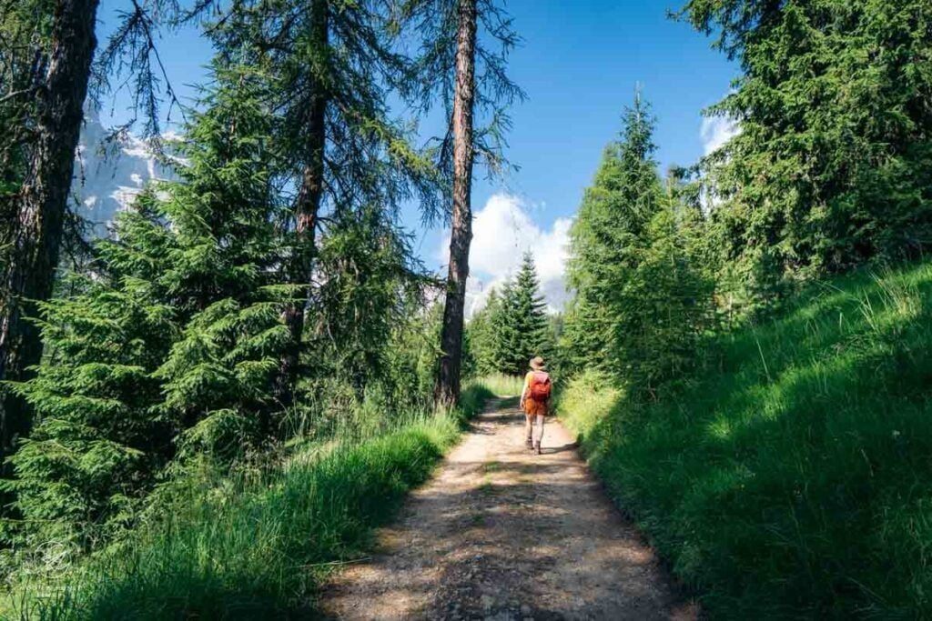
Starting at the Pares Car Park, follow trail 5 in the direction of Kreuzjoch. You’ll see Sass de Putia on your right.
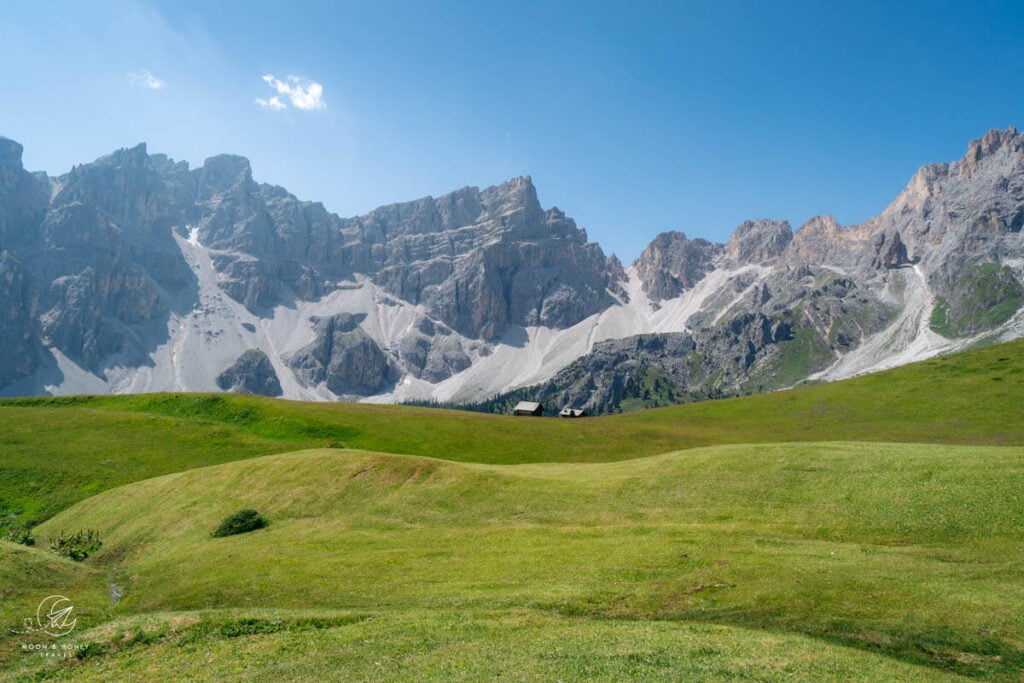
After about 15 minutes, the wide gravel track divides. Bear right on trail 5 and ascend the forest, passing scenic meadows along the way. The ascent continues to the Ütia Ciampcios mountain pasture, which boasts one of the prettiest outlooks in the Puez Group.
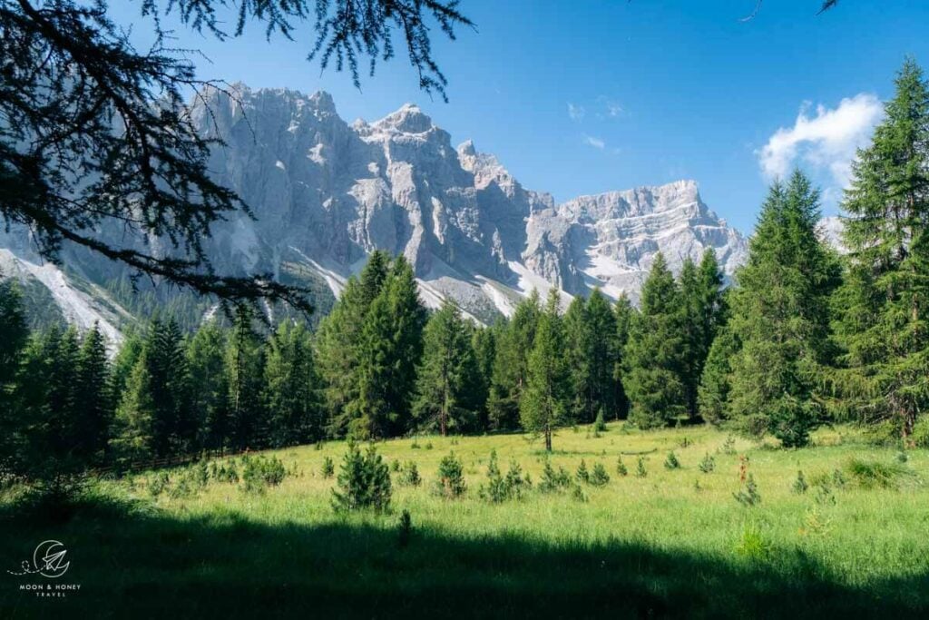
A congregation of peaks stretching between Piz Duleda and Crep dales Dodesc (Antersasc) steal the show. And luckily, hikers can relish the view with regional goodies from the managed Ütia Ciampcios hut.
Continue ascending the gravel track to Medalges-Alm. From here, I recommend detouring 5 minutes to Kreuzjoch pass, where views open up to the cinematic Odle/Geisler peaks. Climb the grassy hill for the best views.
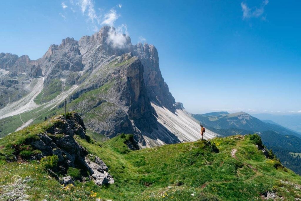
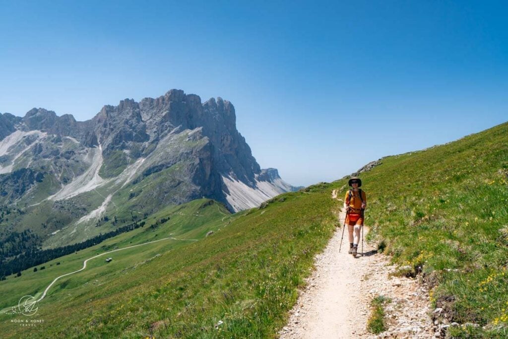
Return to Medalges-Alm, and follow trail 3 in the direction of Rifugio Genova (Schlüterhütte). The trail traverses the grassy slopes of Medalges and Sobutsch, and leads to a viewpoint overlooking Val Badia bordered by the Sas dla Crusc massif (30 min).
Veer left, carefully picking your way across a crumbling and rugged stretch of path, which is partially exposed.
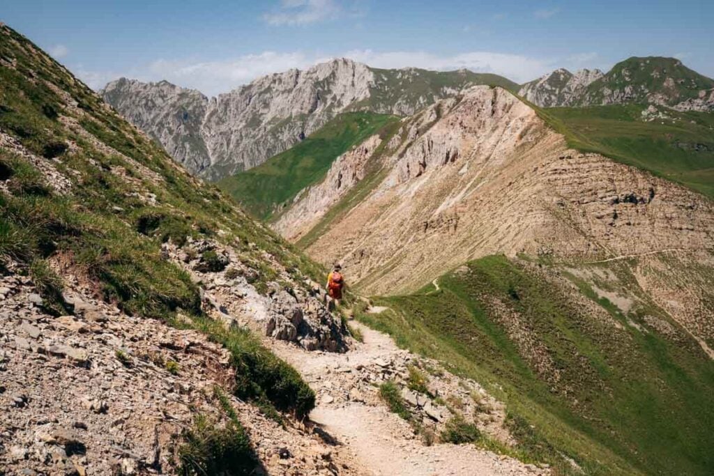
Ignore the turn-off to Rifugio Genova and cross the pasture, grazed in summer, to Kreuzkofeljoch (Passo Poma, Furcella de Munt de Furcia), following trail 4A.
From the pass, you can detour to the summit of Zendleserkofel (Col di Poma), rising to 2422 meters, for sweeping views of the Odle-Geiser and Aferere Geisler peaks (20 minutes one-way).

At the next junction, turn right on trail 4 to Lungiarü/Campill. This quiet path descends across mountain pastures and then drops steeply down the forest to the bed of the Seres stream. Sections of the path are washed out. On the two occasions that I’ve hiked this trail, I thought it was quite steep and slippery.
Join the water mill trail (Roda dles Viles in Ladin, Mühlenweg in German) through the historic hamlets of Val di Morins (“Valley of the Mills”) to complete the circuit.
Recent landslides have left their mark on the Valley of the Mills, robbing the final stretch of much of its former charm.
The hamlet of Misci (1612 m) was first mentioned in 1671. Eight water mills of Val di Morins are a cultural heritage and are fully functional due to the restoration efforts by locals.
Where to Stay in Longiarù
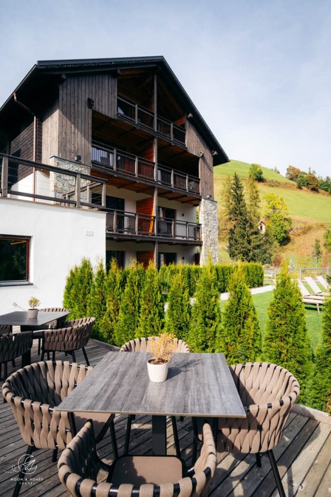
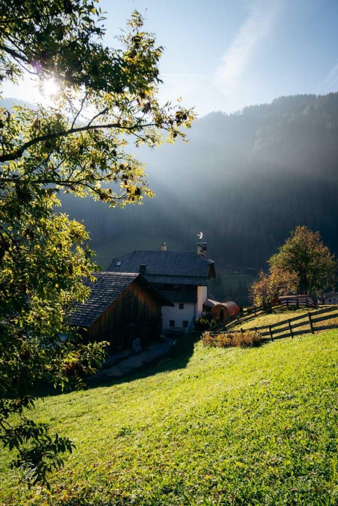
We stayed in the aparthotel Les Dolomites Mountain Lodges (read our Les Dolomites review). Also check out Lüch de Vanc (3-star hotel) and Berghotel Sanví (4-star hotel).
More Dolomites Travel Guides
Val Badia Travel Guide:
Val Badia Hikes:
- Störes Meadows and Rifugio Pralongia starting in San Cassiano
- Lake Lagazuoi Hike starting in San Cassiano
- Sass da Ciampac Summit Hike starting at Passo Gardena
- Setsas Circuit Trail starting at Passo Valparola
- Rifugio Puez Day Hike starting in La Villa
- Lake Pisciadù Day Hike starting at Passo Gardena
- Rifugio Fanes Day Hike starting in San Cassiano
- Armentara Meadows Day Hike starting in Badia
- Sass de Putia Circuit Hike starting at Passo delle Erbe
- Path of the Larches starting in San Cassiano
- Gran Cir starting at Passo Gardena

Pin this Image for Future Trip Planning!
Stay Connected:
Connect with us on Pinterest.
Follow us on Instagram.
Support Us:
If you love reading our content, send me a direct donation.