The 2571-meter-high Mount Setsas rises between Col di Lana (2452 m), Sas de Stria/Hexenstein (2477 m), and Pralongià plateau in the Belluno Dolomites. When viewed from Val Badia, the mountain’s main crest resembles the back of a Stegosaurus.
The little-known Setsas or Settsass Circuit is a quiet day hike with remarkable variety and high-alpine character. The trail crosses meadows, forests, boulder fields, scree slopes, and rugged rock steps, staying on hiking paths throughout and never joining a forest or farm road.
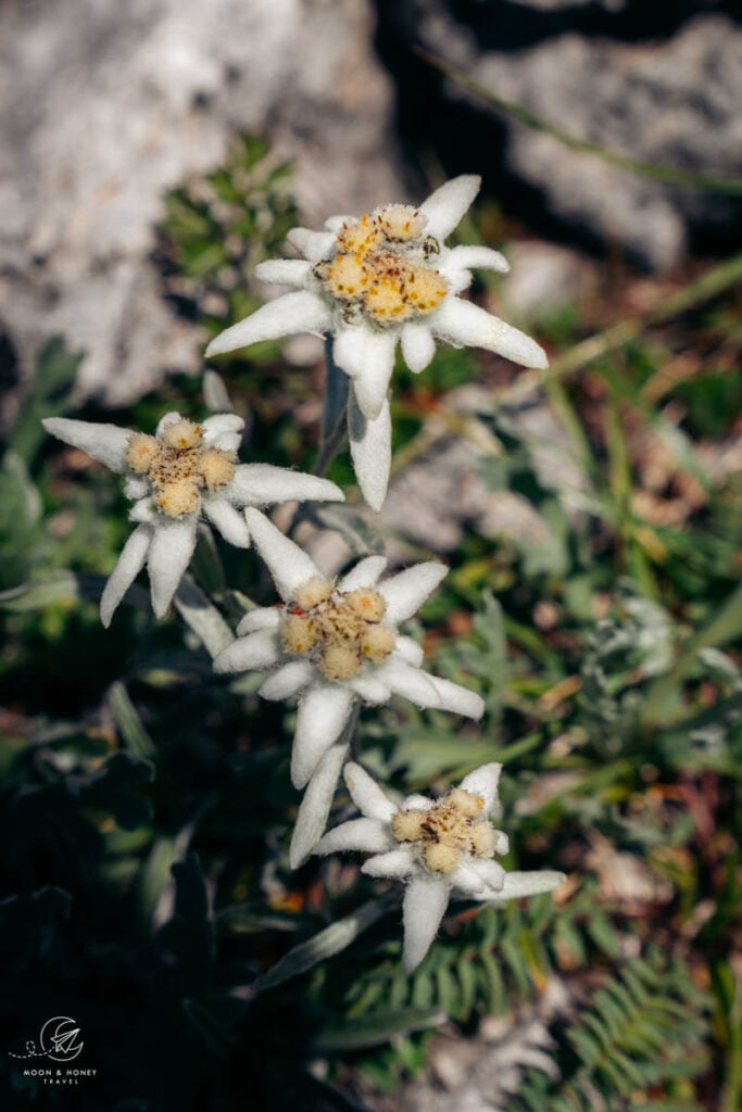
Keep your eyes out for edelweiss and chamois.
- Trailhead: Rifugio Passo Valparola, Belluno | Google Maps
- Distance: 10.6 km circuit
- Time Needed: 4 hours. With breaks, it took me 5 hours.
- Elevation Gain/Loss: 516 meters
- Difficulty: Moderately-difficult
- Lowest Point: 2054 meters
- Highest Point: 2329 meters
- Where to Stay in San Cassiano: Ciasa Milandura (3-star apartments), Hotel Steinrösl (3-star hotel), Plang Farmhouse (3-star B&B), Lagacio Mountain Residence (4-star aparthotel), Hotel Diamant (4-star hotel)
- Recommended Itinerary: 10-14 Day Dolomites Itinerary
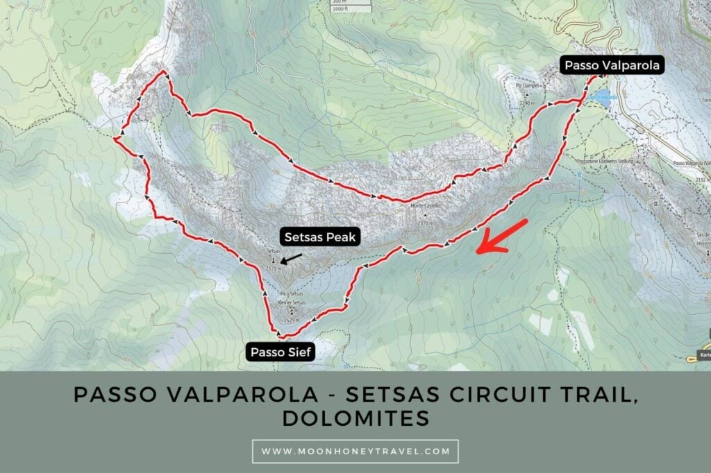
Setsas Circuit Hiking Map
Essential Trail Info
Trailhead | The hike starts behind the roadside Rifugio Passo Valparola at Valparola Pass
How to Get to Valparola Pass by Bus | Take bus 465 from La Villa, or San Cassiano in the direction of Passo Falzarego. Get off at “Valparola Pass.”
Parking near Valparola Pass | There are several roadside car parks near the pass. I parked here, a free car park overlooking Lago di Valparola.
Hiking Season | mid June – October, depending on snow conditions
Trail Direction | I recommend hiking the circuit clockwise, starting with trail 23 and ending on trail 24.
Difficulty | Though total distance and elevation gain/loss is moderate, this hike is moderately-difficult due to some trail erosion throughout, boulder field crossings, and rock steps that require surefootedness and comfort with rugged, uneven terrain. You may need to use your hands at times to navigate some of the tricker passages.
Trail Variations | You can extend the hike to Setsas summit.
Where to Eat | You can detour to Rifugio Pralongia for lunch (40 minutes one-way). That’s the best option, but it will add an additional 5 km to your hike. Having eaten at Rifugio Pralongia on the Störes Meadows trail a week prior, I decided to skip it. I ended up eating at the Valparola Hut, which I don’t recommend. The food was terribly mediocre.
Responsible Hiking | Stay on marked paths and do not pick any flowers.
Safety | Many sections of the hike can be very slippery after rainfall. Only hike this path in dry conditions.
Setsas Circuit Trail Description
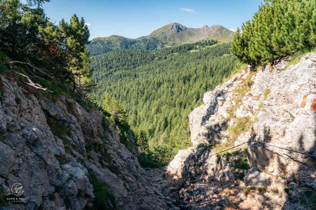
Walk around Rifugio Valparola to reach the trailhead. With Lago di Valparola on your left, cross the grassy slope to the trail 23/24 junction. Turn left onto trail 23 and continue across a meadow, which can be quite boggy. The trail continues through a landscape of dwarf pines before descending a steep, secured rock step.
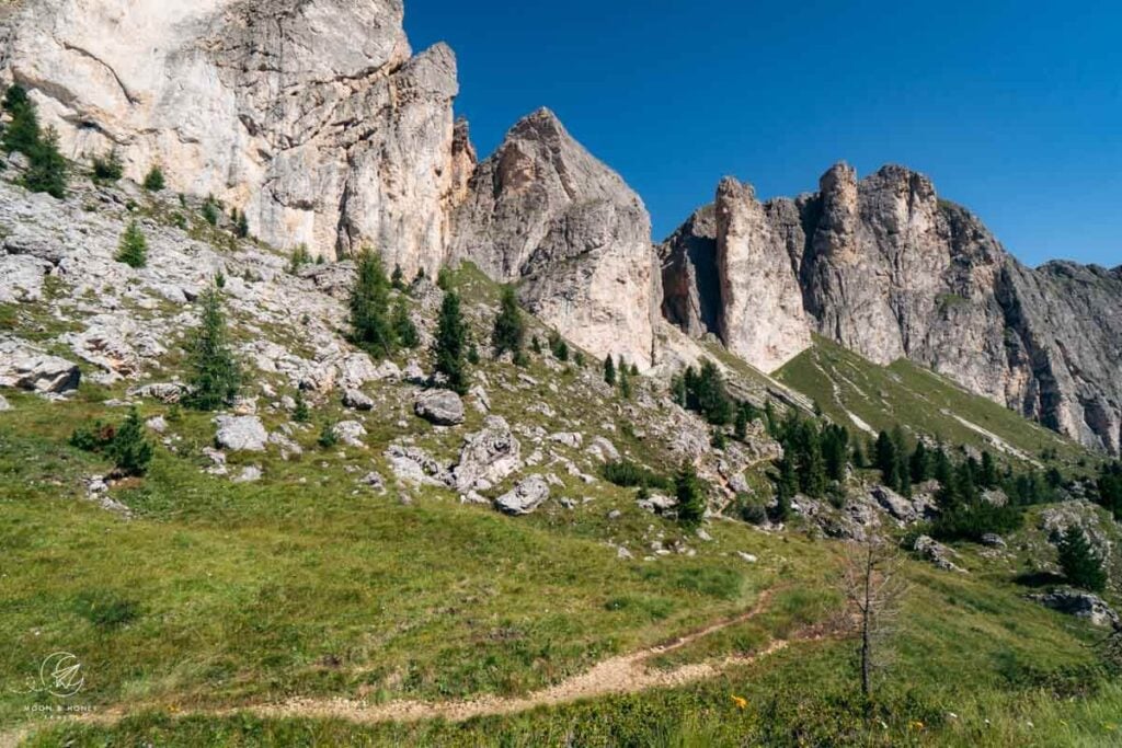
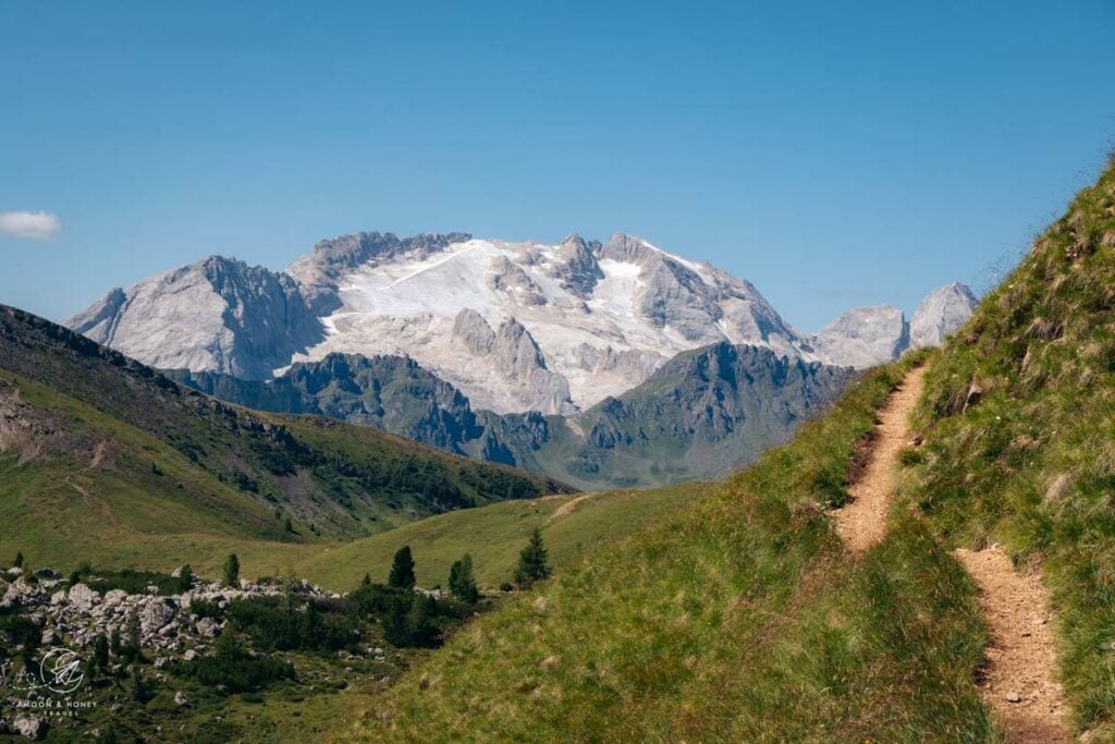
With a vast forest on your left, the undulating trail wraps around the vertical walls of Monte Castello (2371 m) inching towards Col di Lana. With time, Marmolada comes into view. There is some erosion along the trail, making it even narrower in places.
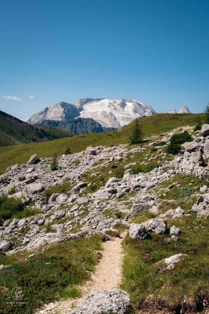
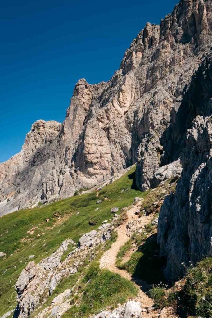
When you reach the Sief pass, unmarked when I hiked here, continue right, wrapping around Pico Setsas. The left trail leads to the summit of Col di Lana.
The trail, more interesting now, alternates between boulder field crossings, scree slopes (with more erosion), and wildflower-carpeted meadows.
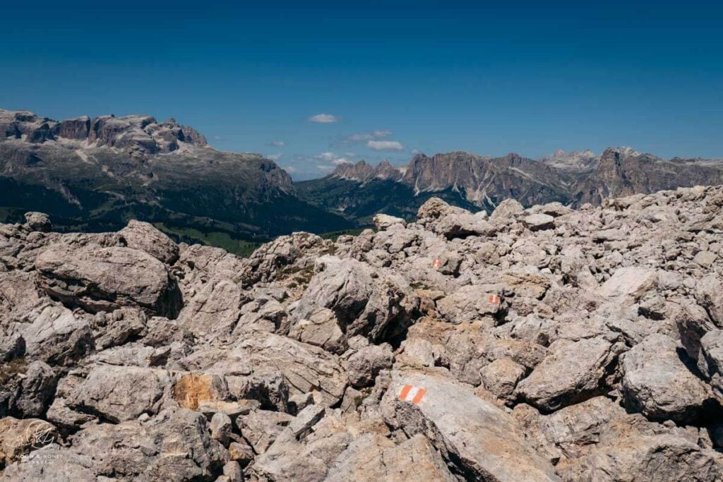
After passing a pirate hut, you’ll arrive at a junction. Here, you can detour to Rifugio Pralongia for lunch. Otherwise, continue right on trail 24 in the direction of Setsas. The trail ascends steeply and then levels on a high path, which is the highlight of the hike in my opinion.
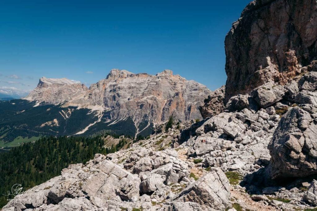
The Sas dla Crusc, Lavarela, and Conturines peaks soon become the focal point of the hike.
When the trail swings right and crosses the ridge, you’ll soon reach the Setsas summit trail junction (24B/24). Continue following trail 24 in the direction of Passo Valparola. The trail descends to a mountain pasture, grazed in summer, and then ambles through a beautiful alrch forest.
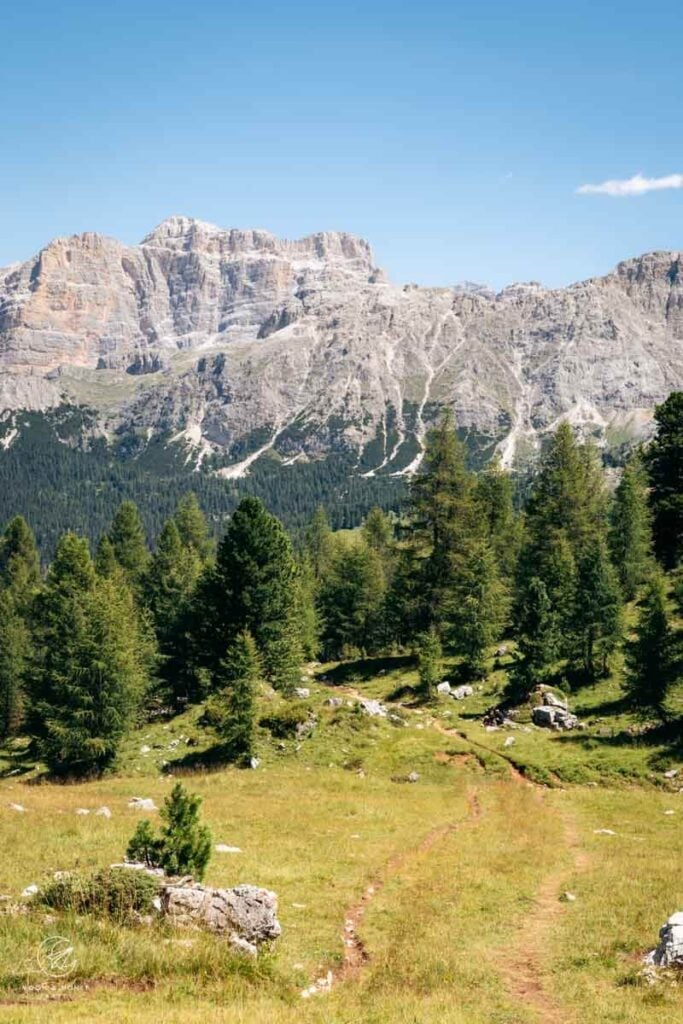
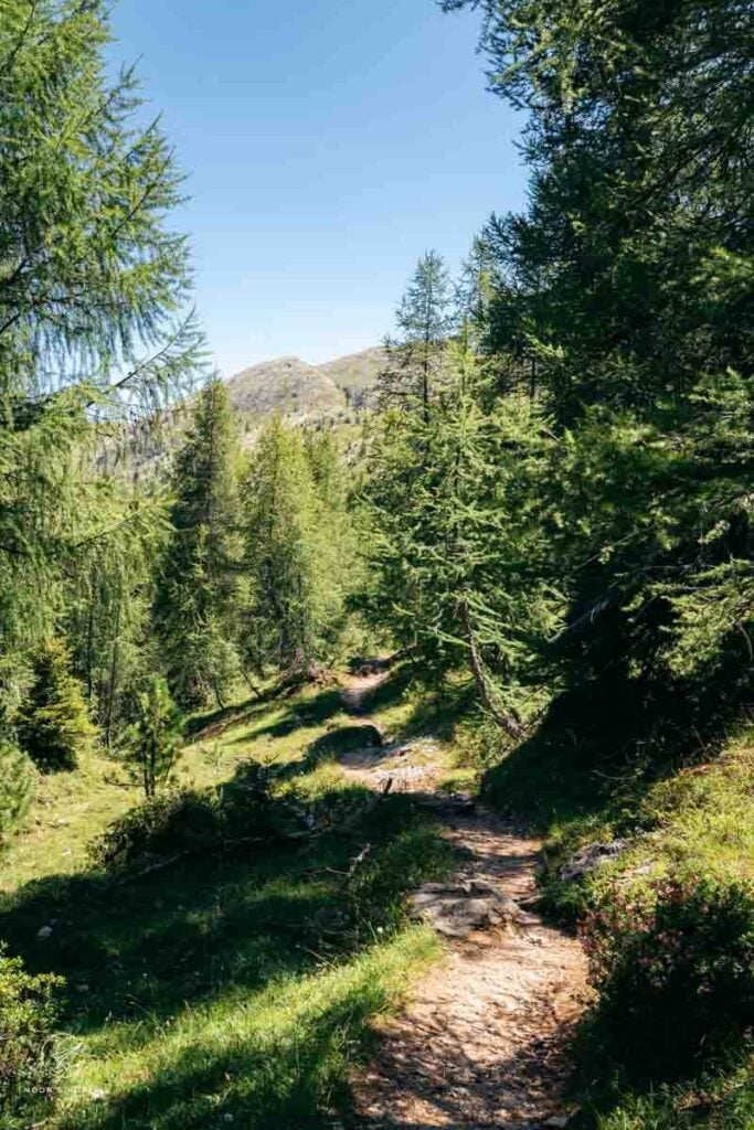
When you emerge from the forest, the trail rises and falls, passes through a rocky corridor, and then traverses a rocky high-alpine landscape. Here, the trail ascends and descends a series of rock steps, where surefootedness and extra care is needed. You may need to use your hands.
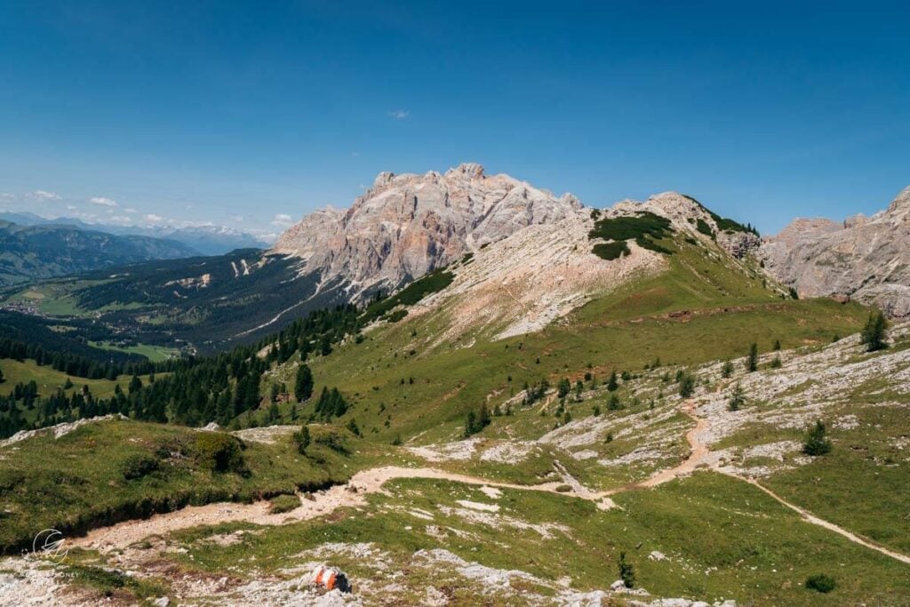
The final stretch to the pass crosses the grassy south flank of Piz Ciampei (2290 m) on a dirt path.
Where to Stay in San Cassiano
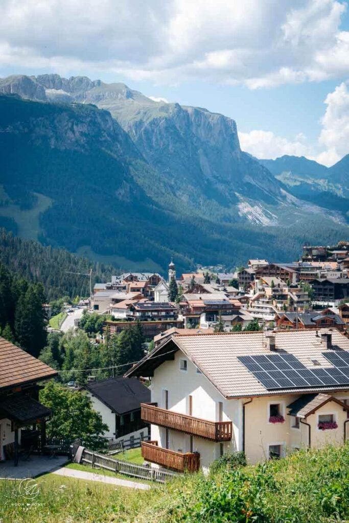
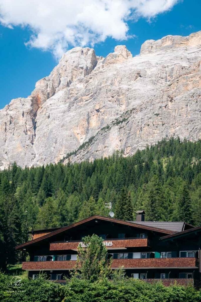
San Cassiano, one of Alta Badia’s six mountain villages, consists of a charming pedestrianized center and the surrounding hamlets of Armentarola, Sciaré (or Saré), Costadedoi, Suracianins, and Rü, nestled between La Villa and Valparola Pass.
If you’re traveling without a car, I recommend staying somewhere central, walking distance to the San Cassiano town center and Surega cable car mountain station. Check out Ciasa Milandura (3-star apartments), Hotel Conturines (3-star hotel), Hotel Steinrösl (3-star hotel), Plang Farmhouse (3-star B&B), Lagacio Mountain Residence (4-star aparthotel), Hotel Diamant (4-star hotel), and Hotel Fanes (5-star hotel).
If you’re traveling with a car, also check out Hotel Ciasa Salares (4-star hotel in Armentarola), B&B – Hotel Ciasa Rü Blanch (3-star hotel), Hotel Ciasa Ai Pini (3-star hotel).
Campers can stay in Camping Sass Dlacia, the highest campsite in the Dolomites.
If you’re visiting San Cassiano in autumn (October or November), I recommend staying in a hotel with an on-site restaurant. Between the summer and winter seasons, many shops and restaurants close, leaving limited dining and shopping options in the village.
Alta Badia Travel Guides
Alta Badia:
- Alta Badia Hotels
- Alta Badia Summer Guide
- Alta Badia Autumn Guide
- Störes Meadows, Pralongia Plateau Hike
- Lake Lagazuoi Hike
- Sass da Ciampac Summit Hike
- Rifugio Puez Day Hike
- Lake Pisciadù Day Hike
- Rifugio Fanes Day Hike
- Armentara Meadows Day Hike
- Sass de Putia Circuit Hike
- Path of the Larches
- Gran Cir
Dolomites

Pin this Image for Future Trip Planning!
Stay Connected:
Connect with us on Pinterest.
Follow us on Instagram.
Like us on Facebook.
Support Us:
If you love reading my content, you can send me a direct donation.