The Lake Lagazuoi – Rifugio Scotoni circuit hike in Fanes-Sennes-Braies Nature Park is a fun half-day excursion for hikers based in Alta Badia.
I particularly love the ascent to Col de Locia, the rugged descent from Forcela dl Lech to Lech de Lagació, and of course the opportunity to eat lunch at Scotoni Hütte.
The trail overlaps with the popular Alta Via 1 long distance trail, so that particular stretch can be a bit more crowded. However, it didn’t detract from my experience.
- Trailhead: Capanna Alpina, San Cassiano | Google Maps
- Distance: 10 km circuit
- Time Needed: This hike took me 4:30 hours with lunch & breaks
- Elevation Gain/Loss: 762 meters
- Difficulty: Moderate
- Lowest Point: 1724 meters
- Highest Point: 2486 meters
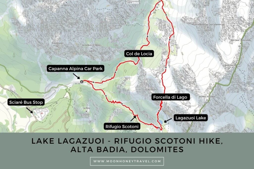
- Route: Capanna Alpina – Col de Locia – Forcella di Lago (Forcela dl Lech) – Lagazuoi Lake – Scotoni Hut – Cappana Alpina
- Where to Stay in San Cassiano: Ciasa Milandura (3-star apartments), Hotel Steinrösl (3-star hotel), Plang Farmhouse (3-star B&B), Lagacio Mountain Residence (4-star aparthotel), Hotel Diamant (4-star hotel)
- Recommended Itinerary: 10-14 Day Dolomites Itinerary
Capanna Alpina – Lake Lagazuoi – Rifugio Scotoni Hiking Map
Essential Trail Info
How to Get to Capanna Alpina | Drive to the Capanna Alpina pay-on-exit car park (10 EUR per day), an 8-minute drive from San Cassiano. Alternatively, you can ride the bus to the Sciaré bus stop (Google Maps). From here, walk 1.7 km (30 minutes) to the Capanna Alpina trailhead, wrapping around the Camping Sass Dlacia property.
Hiking Season | June to mid/late October, depending on snow conditions.
Trail Direction | I recommend hiking the loop clockwise so that you reach Rifugio Scotoni towards the end of the hike, just in time for lunch.
Difficulty | Moderate in dry conditions
Trail Variations | It’s also possible to hike to Rifugio Scotoni out-and-back.
Where to Eat | Rifugio Scotoni
Responsible Hiking | This trail is located within the UNESCO World Heritage Site Fanes-Sennes-Braies Nature Park, a protected nature park. Wild camping and flying drones is forbidden.
Lake Lagazuoi Trail Description
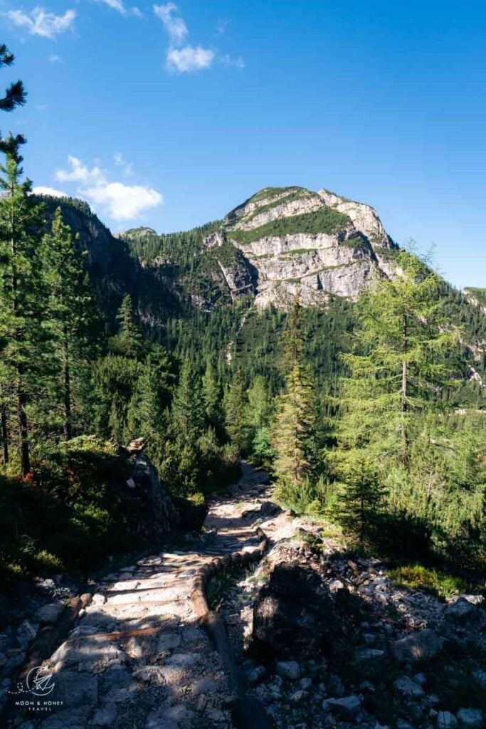
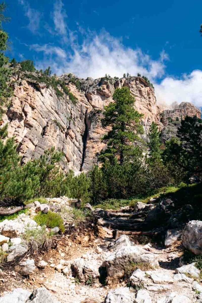
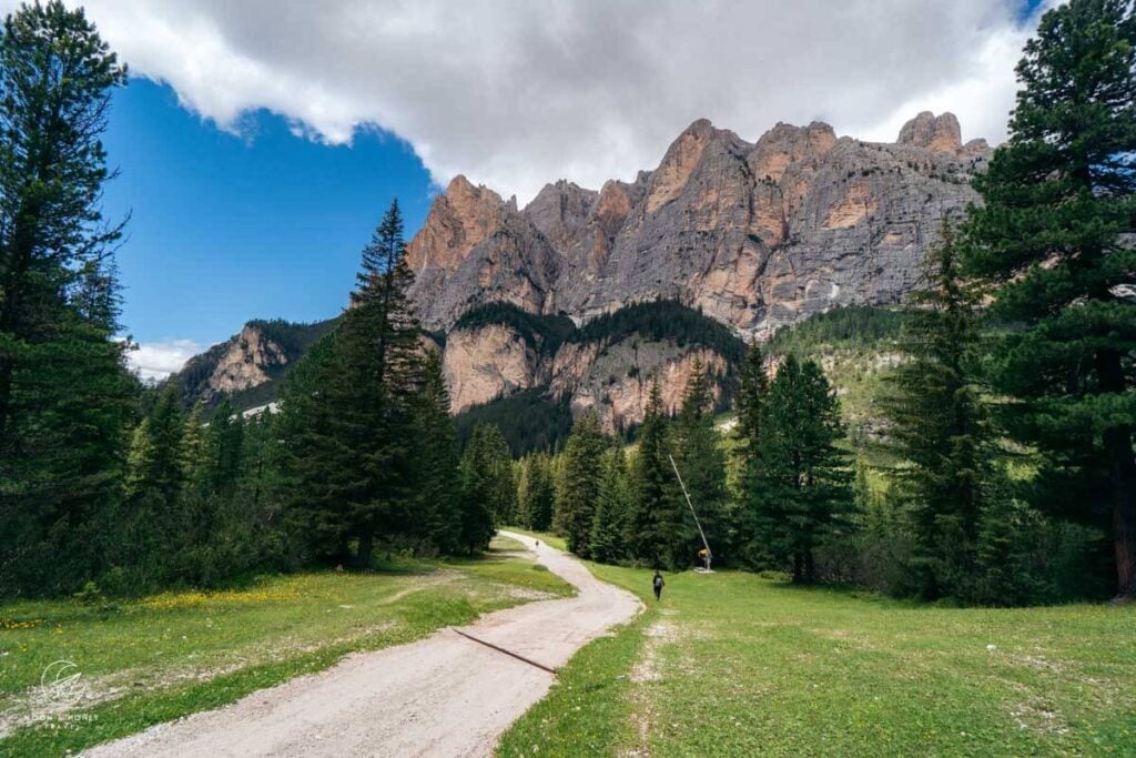
After passing the Capanna Alpina hut (1720 m) and public toilet facilities, you’ll reach a junction. Bear left on trail 11 in the direction of Col de Locia (2069 m).
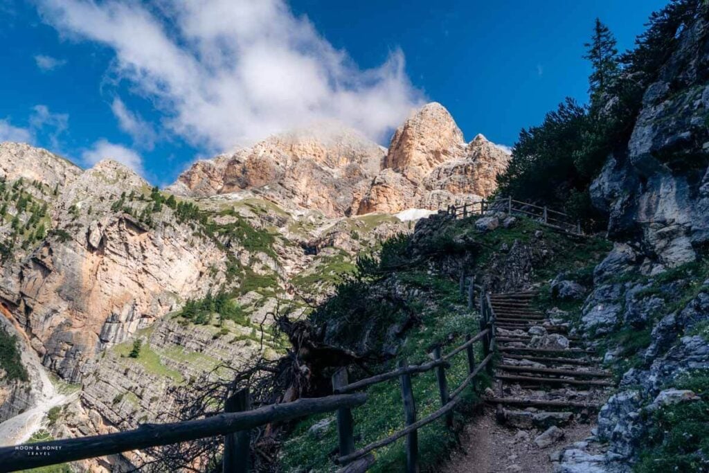
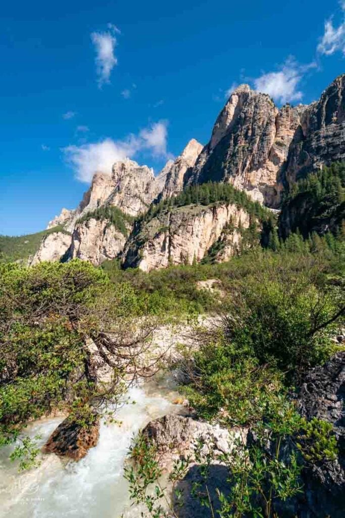
After a flat stretch, the stone-pine-flanked trail steadily ascends, hugging the northern flank of Piza dl Lech, to reach Col de Locia (1:10 hours). Pass through the gate to crest Col de Locia, gateway to a high valley known as Grande Piano (Le Gran Plan), part of the Fanes Alp.
The trail undulates across the high valley, following a stream. When you reach the next junction, make a sharp right onto trail 20B to Lake Lagazuoi, signed 1:30 hours, following the Alta Via 1.
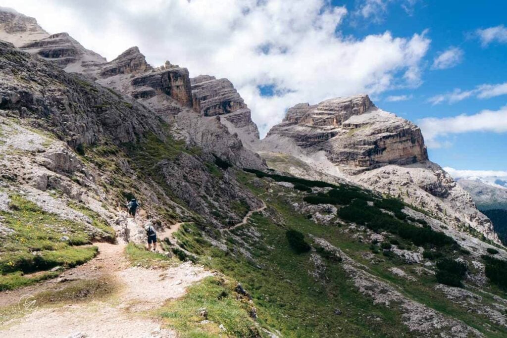
After about 20 minutes, the trail brings you to a lookout point, where you can see Marmolada in the distance. Immediately after, the trail narrows. There are a few exposed steps across the broken path where extra caution is needed.
The trail continues to steadily ascend across the loose rocky terrain, without drama, to Forcela dl Lech/Forcella di Lago (2486 m), located between Piza dl Lech (2654 m) and Piza Scotoni (2874 m).
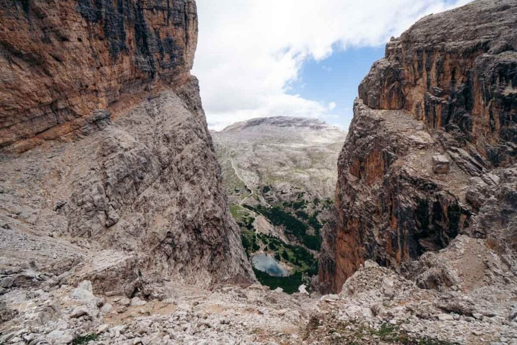
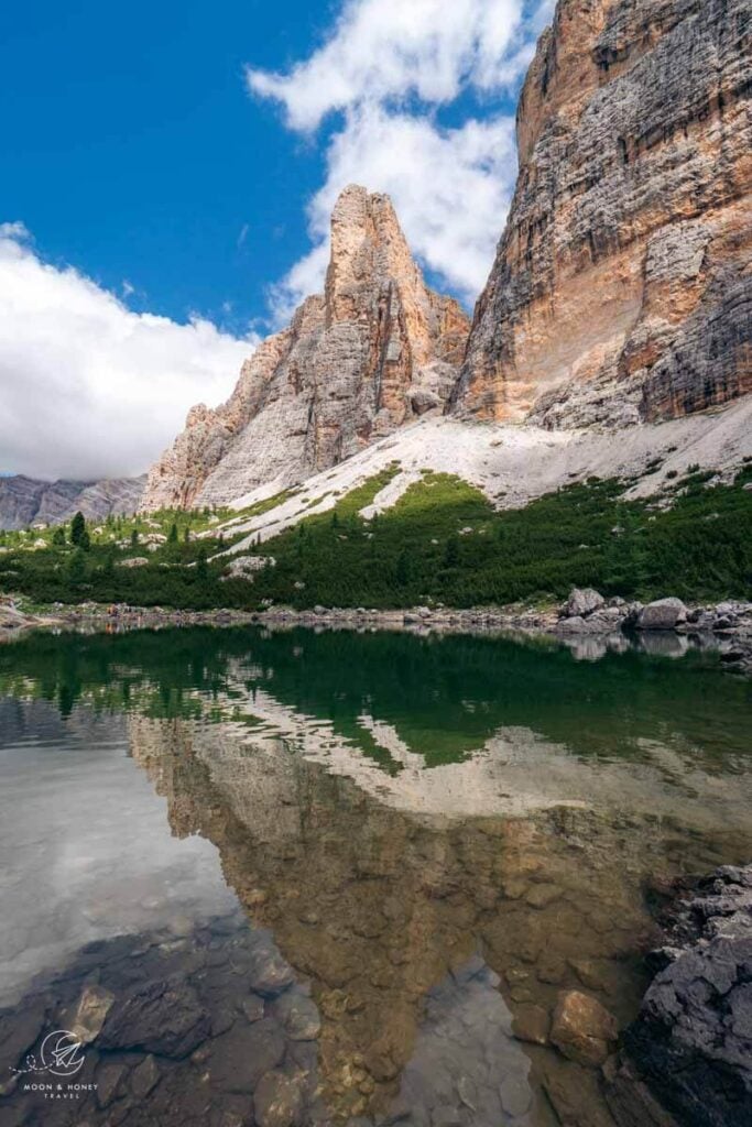
From the saddle, the trail tightly twists down the mountain through a rocky corridor, flanked by cliffs. You can see Lake Lagazuoi (Lech de Lagació in Ladin) below. In dry conditions, there’s nothing difficult about this path. It’s just a bit tedious for the knees. I was happy to have my hiking poles.
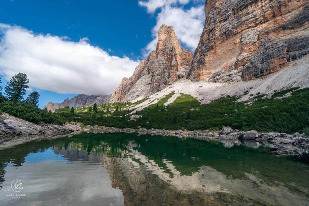
When you finally reach level ground, it’s just a few meters to reach the lake shore, a natural gathering place for the Alta Via 1 hikers who rest before continuing the final ascent to Rifuguo Lagazuoi.
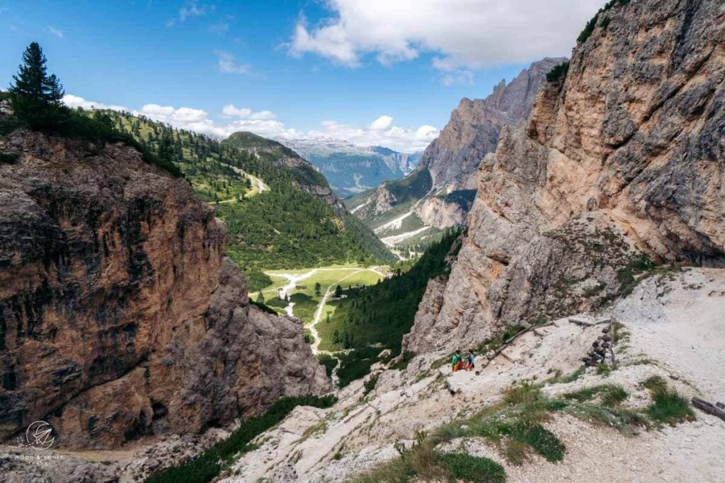
After a well-earned break, locate trail 20B/20 junction and descend the gully (trail 20) to reach the beautifully-positioned Rifugio Scotoni (2040 m) in 20 minutes, guarded by two fluffy alpacas. Lunch here is an absolute must.
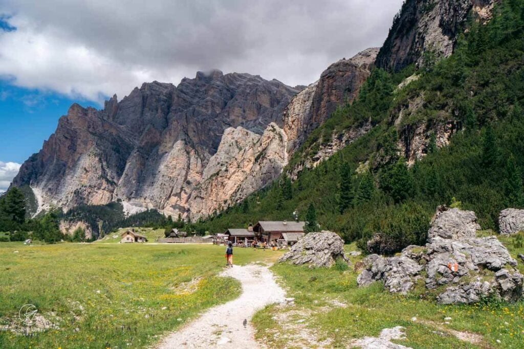
Though the descent back to Capanna Alpina follows an unremarkable gravel track, which intersects with the Armentarola Piste aka Hidden Valley Run, the views of Conturines and Piz Armentarola are beautiful.
Where to Stay in San Cassiano
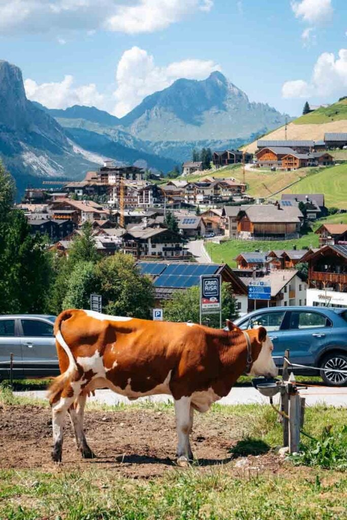
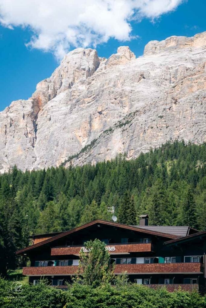
San Cassiano, one of Alta Badia’s six mountain villages, consists of a charming pedestrianized center and the surrounding hamlets of Armentarola, Sciaré (or Saré), Costadedoi, Suracianins, and Rü, nestled between La Villa and Valparola Pass.
If you’re traveling without a car, I recommend staying somewhere central, walking distance to the San Cassiano town center and Surega cable car mountain station. Check out Ciasa Milandura (3-star apartments), Hotel Conturines (3-star hotel), Hotel Steinrösl (3-star hotel), Plang Farmhouse (3-star B&B), Lagacio Mountain Residence (4-star aparthotel), Hotel Diamant (4-star hotel), and Hotel Fanes (5-star hotel).
If you’re traveling with a car, also check out Hotel Ciasa Salares (4-star hotel in Armentarola), B&B – Hotel Ciasa Rü Blanch (3-star hotel), Hotel Ciasa Ai Pini (3-star hotel).
Campers can stay in Camping Sass Dlacia, the highest campsite in the Dolomites.
If you’re visiting San Cassiano in autumn (October or November), I recommend staying in a hotel with an on-site restaurant. Between the summer and winter seasons, many shops and restaurants close, leaving limited dining and shopping options in the village.
Alta Badia Travel Guides
Summer:
- Alta Badia Summer Guide
- Störes Meadows, Pralongia Plateau Hike
- Sass da Ciampac Summit Hike
- Rifugio Puez Day Hike
- Lake Pisciadù Day Hike
- Rifugio Fanes Day Hike
- Armentara Meadows Day Hike
- Sass de Putia Circuit Hike
- Path of the Larches
- Gran Cir
Autumn:
Winter:
Where to Stay:
- Alta Badia Hotels
- Review: Hotel Badia Hill
- Review: AMA Stay
- Review: Posta Zirm Hotel
- Review: Les Dolomites Mountain Lodges

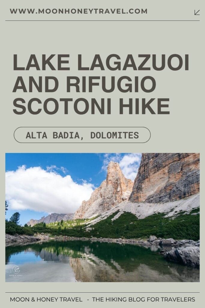
Pin this Image for Future Trip Planning!
Stay Connected:
Connect with us on Pinterest.
Follow us on Instagram.
Like us on Facebook.
Support Us:
If you love reading my content, you can send me a direct donation.