The Sas dla Crusc (also spelled Sass dla Crusc) is the imposing massif in the Fanes Group that towers above Badia in Alta Badia, Dolomites. An exciting, albeit very challenging Grade A/B via ferrata route connects the La Crusc Pilgrimage Church to the summit of L’Ćiaval (Heiligkreuzkofel in German, Monte Cavallo in Italian), 2907 meters.
This route, known as Via Ferrata Sass dla Crusc or Heiligkreuzkofelsteig, diagonally ascends the western face of Sass dla Crusc to Passo di Santa Croce. From the pass, it’s another hour to the summit.
Most hikers will return along the same route. If you want to avoid climbing down the via ferrata, you can hike down Val Medesc, which is what I did.
- Starting Point: La Crusc valley station | Google Maps
- Trailhead: Rifugio La Crusc
- Distance: 14.3 km circuit
- Time Needed: I needed 7 hours with breaks
- Elevation Gain/Loss: 1050 meters
- Difficulty: Via Ferrata Grade A/B. Overall, very challenging tour
- Minimum Elevation: 1972 meters
- Maximum Elevation: 2907 meters
- Where to Stay in Badia: Residence Lersc (apartments), Hotel Cavallino (3-star hotel), or Agriturismo Anví (farm stay)
- Recommended Itinerary: 10-14 Day Dolomites Itinerary
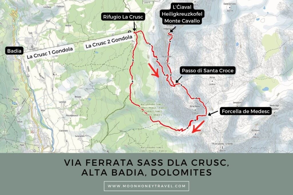
Via Ferrata Sass dla Crusc Map
Essential Trail Info
How to Get to Rifugio La Crusc | Ride the La Crusc 1 and La Crusc 2 gondolas from Badia to the mountain station. There is parking at the valley station. I recommend starting at 8:30 am, so you don’t have to stress out about the time.
Hiking Season | July – September, only when the trail is snow-free
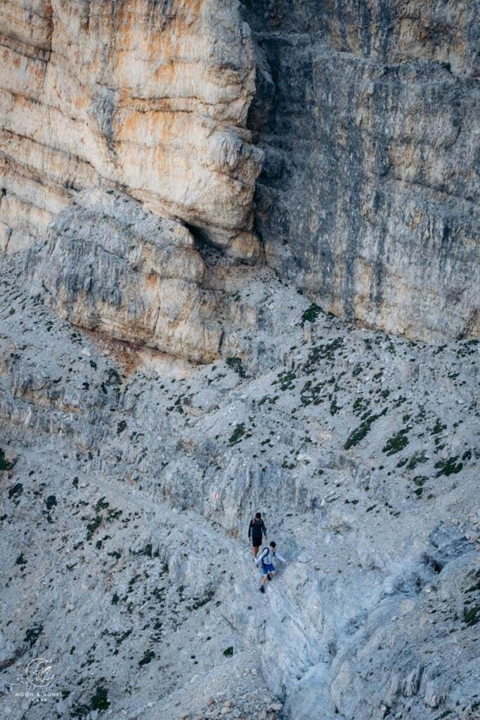
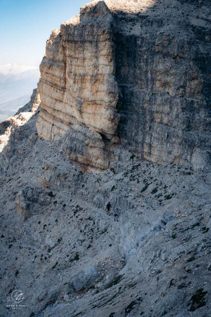
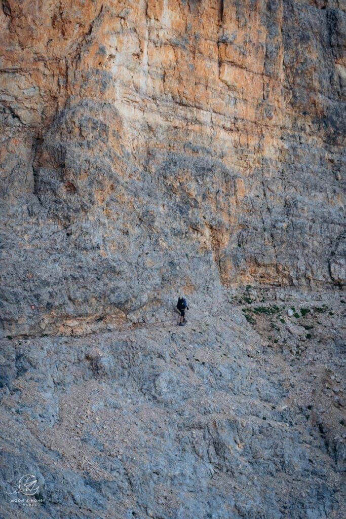
Difficulty | Via Ferrata Sass dla Crusc is more of a scramble than a secured climbing route. Hikers must tackle numerous unsecured ledges and rock steps. Some of these balcony-ledges are extremely narrow and exposed, with dizzying drop offs on one side. So, in my opinion, the difficulty lies in all the unsecured sections rather than the easy Grade A fixed cable sections along the way.
Trail Variations | You can hike this trail out-and-back, or complete a circuit via Val Medesc.
Where to Eat | Bring snacks and 2 liters of water, because the only place to eat along the route is at the start and end of the trail: Rifugio La Crusc (Heiligkreuzhütte).
Responsible Hiking | This trail is located within the UNESCO World Heritage Site Fanes-Sennes-Braies Nature Park, a protected nature park. Wild camping, flying drones, picking flowers, and lighting fires is forbidden.
Safety | In addition to being surefooted on loose, rocky terrain and comfortable with heights, hikers need considerable stamina to complete the route.
Via Ferrata Sass dla Crusc (Heiligkreuzkofel) Trail Description
La Crusc Mountain Station to Passo di Santa Croce (2 – 2:30 hours)
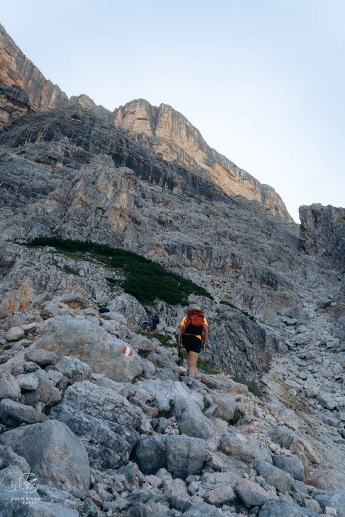
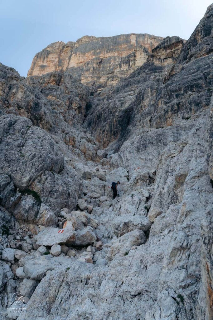
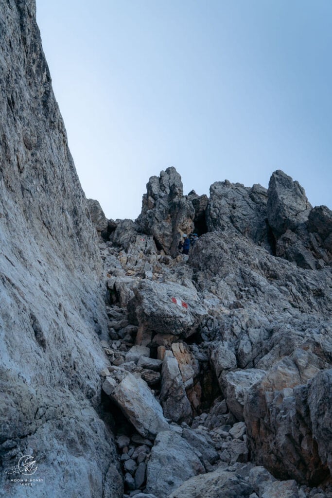
Starting at the top of the two-stage La Crusc gondolas, hike up to Rifugio La Crusc and the Pilgrimage Church (5 minutes). From there, continue on Trail 7 in the direction of Sas dla Crusc (signed 2:40 hours / I needed 3:30 hours), ascending towards the mighty walls of Sass dla Crusc. You’ll pass a heart-shaped bench with an enviable outlook of Val badia.
The trail turns southeast and runs parallel to the base of Sass dla Crusc. After a comfortable traverse between boulders and dwarf pine, the path rises, crossing scree and some easy-to-navigate washed out stretches.
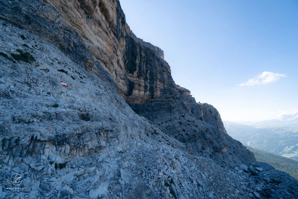
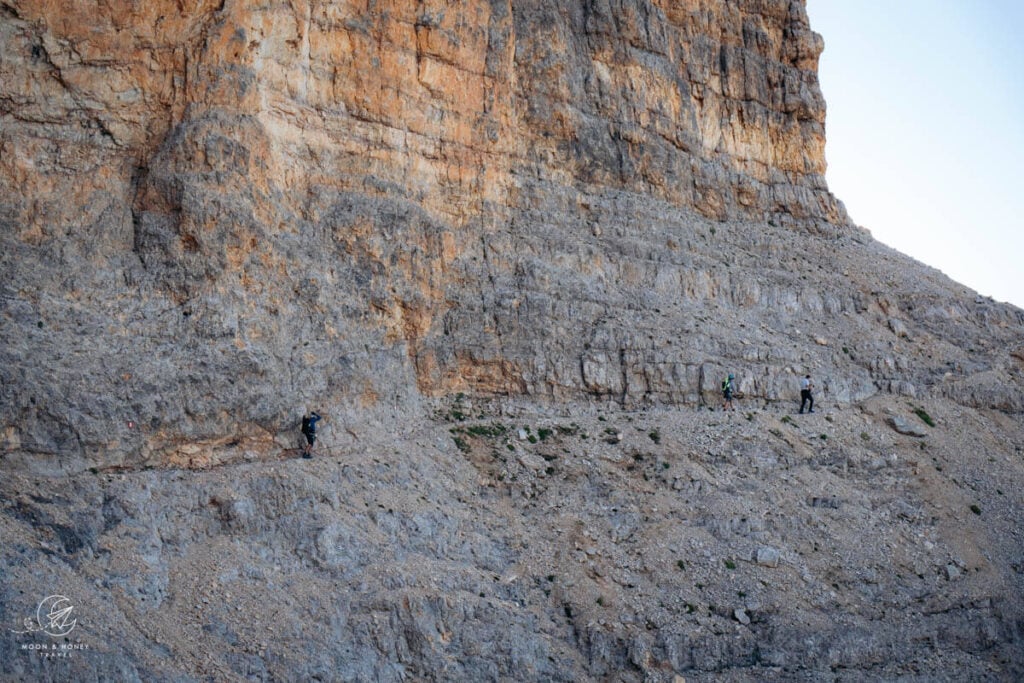
The path follows a diagonal trajectory across the west face of Sass dla Crusc to Forcella di Santa Croce (aka Passo di Santa Croce, Ju dla Crusc, Kreuzkofeljoch), alternating between free scrambling, narrow ledges, and fixed cables.
The vast majority of Via Ferrata Sass dla Crusc unprotected. On more than one occasion, I thought to myself, it would be great if they secured this part as well.
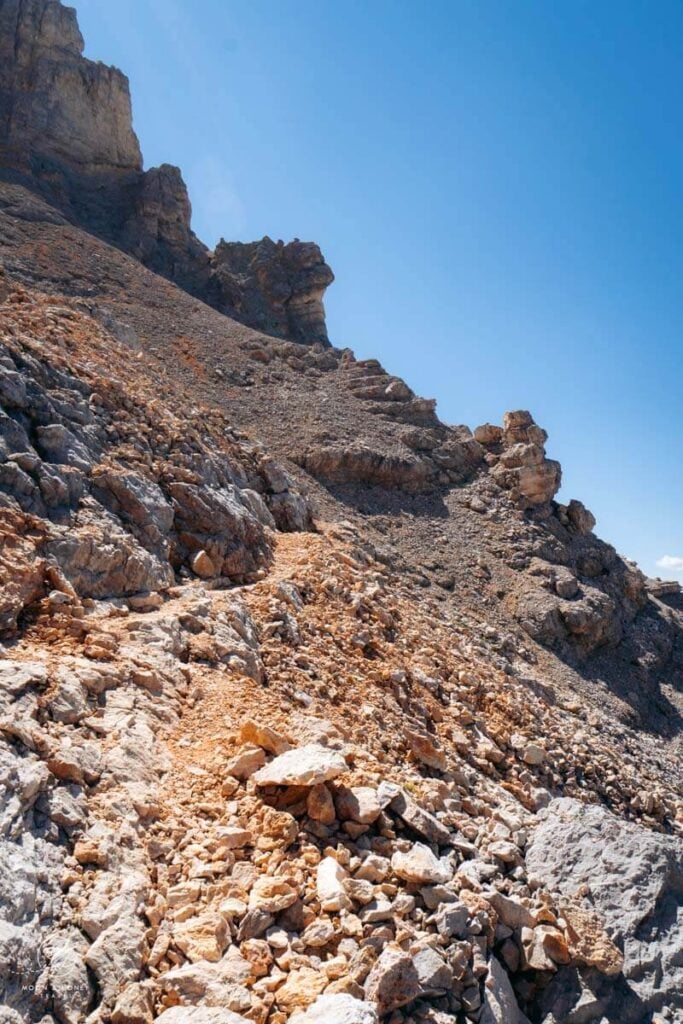
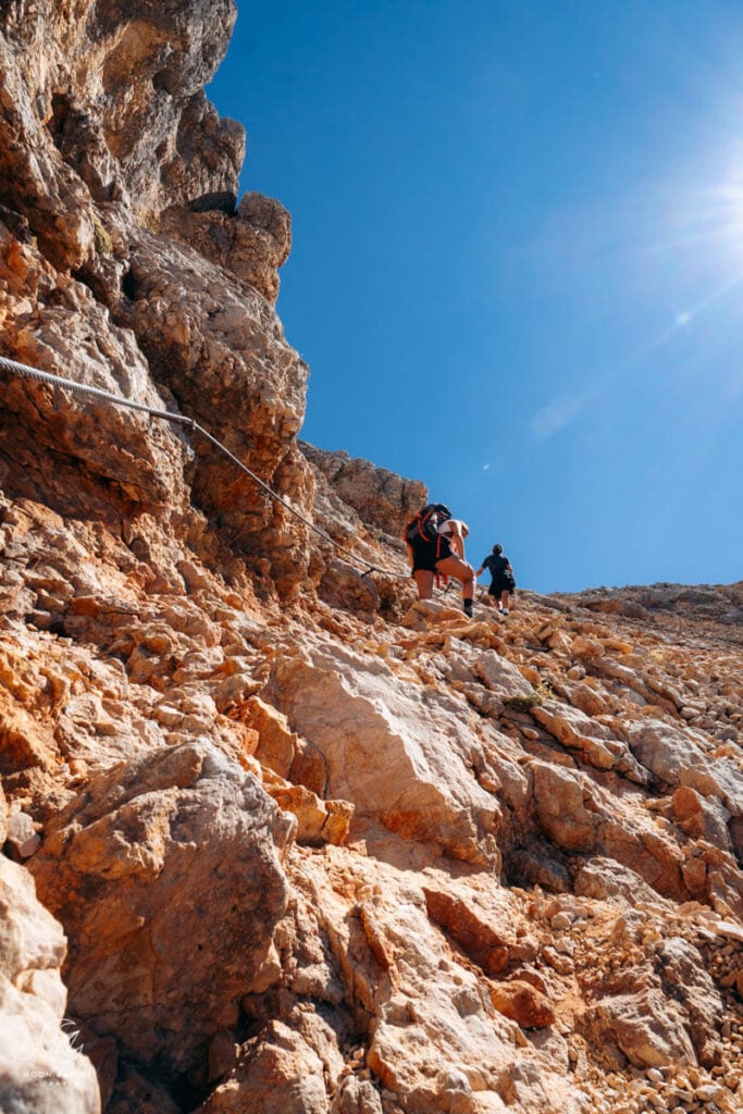
After a lengthy and steep, but easy cable-aided passage, the trail crests a vast karst plateau at Passo di Santa Croce (2612 m).
Passo di Santa Croce to L’Ćiaval / Heiligkreuzkofel / Monte Cavallo (1 hour)
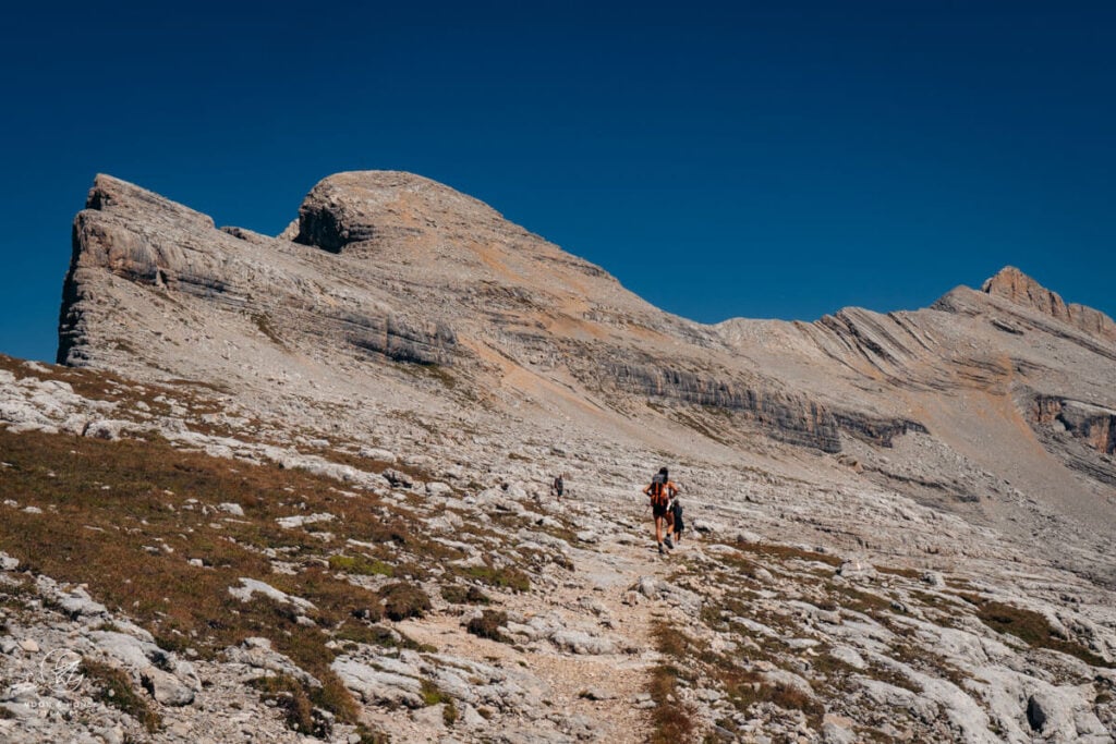
Turn left and follow Trail 7B to the summit of L’Ćiaval. It’s quite a relief to hike on a regular trail, free of exposure, after all that scrambling. Though most of the ascent presents no difficulty, there is quite a bit of scree as you near the summit. Wayfinding is less obvious as well.
L’Ćiaval to Passo di Santa Croce (45 minutes)
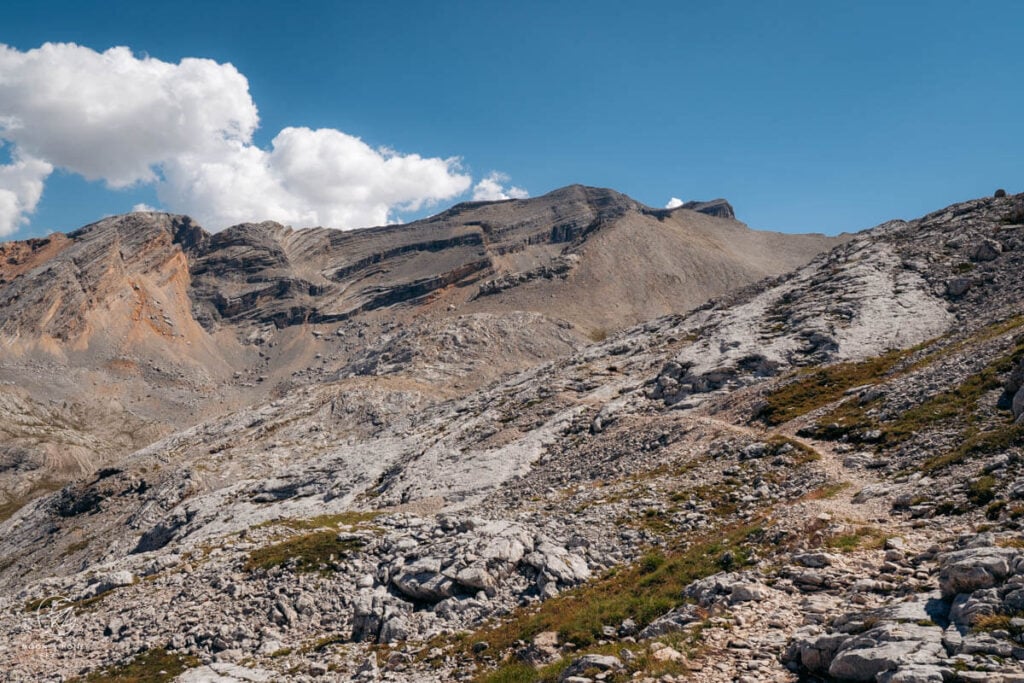
Return to the Santa Croce pass.
Passo di Santa Croce to Forcella de Medesc (40 minutes)
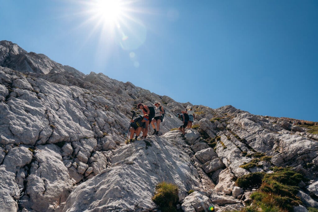
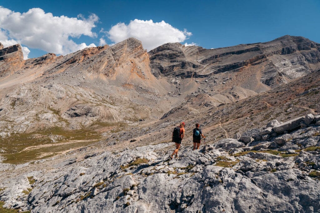
Following trail 12B in the direction of Forcella de Medesc (signed 30 minutes), cross the barren plateau from waymark to waymark. There are a few cairns as well. Though initially quite smooth, thanks to the karst pavement, the trail becomes increasingly more technical. There are a few very steep stretches, where I had to actually sit down and slide down the karst.
Turn right and join Trail 12 to reach Forcella di Medesc (2533 m) in five minutes.
Forcella de Medesc to La Crusc Mountain Station (2 hours)
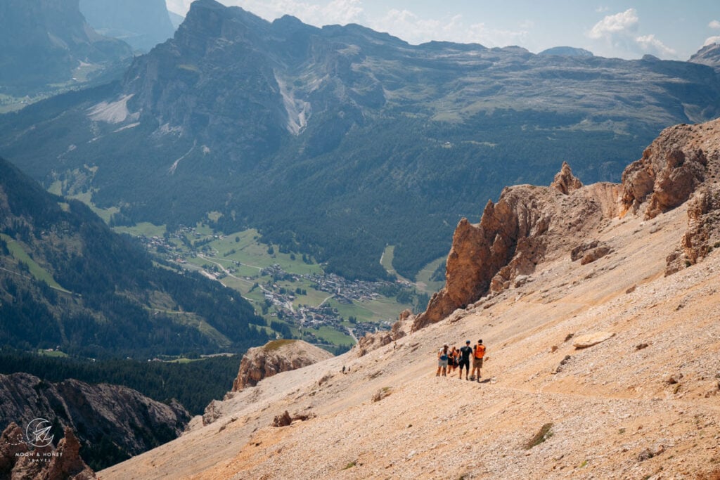
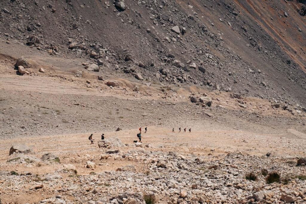
After angling west across the scree slope, the path descends steeply down Medesc Valley in zigzags. The scree feels neverending, but the path is intact and well-graded. After hiking this trail, I felt desensitized to scree.
Trail 12 leads to the left side of the valley, follows a ledge, and eventually eases in the vegetation. After crossing the scree-filled Medesc Valley, you’ll reach the Trail 12/12A junction. Turn right on Trail 12A (1 hour to La Crusc).
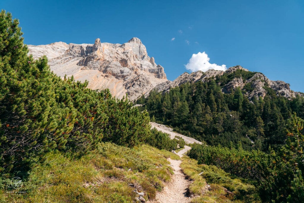
The beautiful undulating forest trail later merges with Trail 15 (from San Cassiano) to reach La Crusc Pilgrimage Church.
Where to Stay in Badia
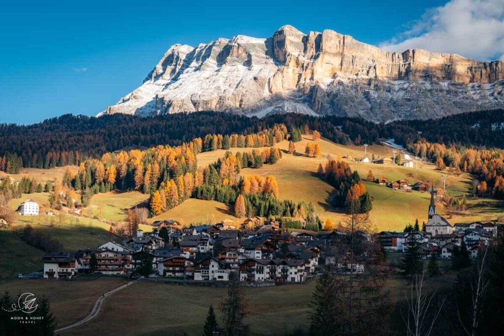
There are many accommodations in the Badia hamlet of San Linert that are walking distance to the La Crusc cableways, including: Residence Lersc (apartments), Hotel Cavallino (3-star hotel), and Hotel La Müda. Those are all great options if you’re traveling without a car.
Up the road, there are several budget-friendly farm stays and apartments to consider: Niciora, Agriturismo Anví, and App. Ciuf de Munt.
Across the Val Badia road, there are many more options, the best of which is 4-star Hotel Badia Hill. See my Badia Hill review.
Related: Where to Stay in Alta Badia
Alta Badia Hiking Guides
Alta Badia Travel:
Val Badia Hikes:
- Störes Meadows, Pralongia Plateau Hike (easy)
- Path of the Larches (easy)
- Armentara Meadows Hike (easy)
- Lake Lagazuoi Hike (moderate)
- Sass da Ciampac Summit Hike (moderate)
- Rifugio Puez Hike (moderate)
- Rifugio Fanes Hike (moderate)
- Lungiarü – Ütia Ciampcios (moderate)
- Sass de Putia Circuit Hike (moderate)
- Lake Pisciadù Hike (difficult)
Via Ferrata Routes around Alta Badia:
- Gran Cir (Grade A)
- Sassongher Peak (Grade A/B)
- Kaiserjägersteig to Lagazuoi (Grade A)
- Lichtenfelser Steig to Piz Boe (Grade A/B).
Dolomites
Pin this Image for Future Trip Planning!
Stay Connected:
Connect with us on Pinterest.
Follow us on Instagram.
Like us on Facebook.
Support Us:
If you love reading my content, you can send me a direct donation.