Most hikers set out to complete the Alta Via 1 in the in the Dolomites from Lago di Braies to La Pissa, near Belluno. But, if you’re short on time, you can hike just one section of the route: the Northern Stages, from Lago di Braies to Cortina d’Ampezzo, or the Southern Stages, from Passo Giau, just west of Cortina, to La Pissa.
Whichever section you choose, the landscapes are spectacular. The Northern Stages pass through the famous Braies, Fanes, Lagazuoi, and Ampezzo groups, while the South wraps around the Pelmo and Civetta groups before giving way to the lesser-known Moiazza, Tamer, and Moschesin ranges.
The biggest difference, however, is not the scenery but the experience. The Northern Stages offer greater comfort, with a higher concentration of excellent Rifugios and more infrastructure. The Southern Stages are quieter and more remote, with fewer day hikers and a greater sense of wilderness.
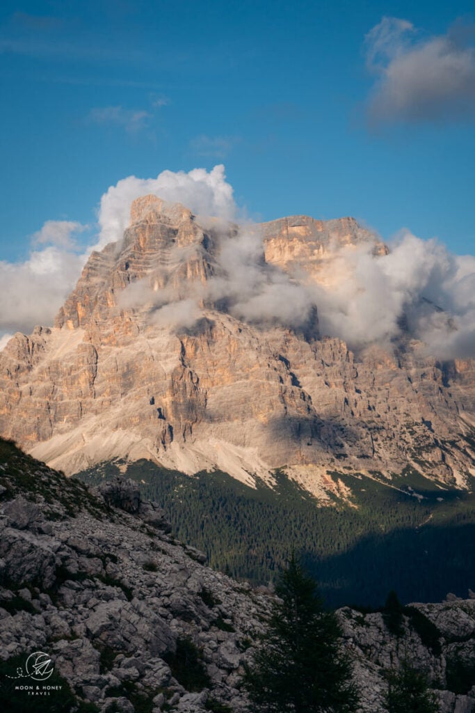
- Trail Length: 120 km
- Overnight Accommodation: Mountain Huts
- When to Hike: Late June to Late September. Most huts close around September 20th.
- When to Book: August – October the year before
- How to Book: Read How to Book the Alta Via 1 Rifugios
- Solo Hiking: My Experience Solo Hiking the Alta Via 1
- Packing Essentials: Cash, sleeping bag liner, hiking poles
Alta Via 1 North and South Itineraries
If you’re looking for the best mountain huts, food, and iconic destinations (Lake Braies, Cinque Torri, Lagazuoi WWI Tunnels), choose the North. If solitude and getting off the beaten path appeal to you more, head south.
Northern Itinerary
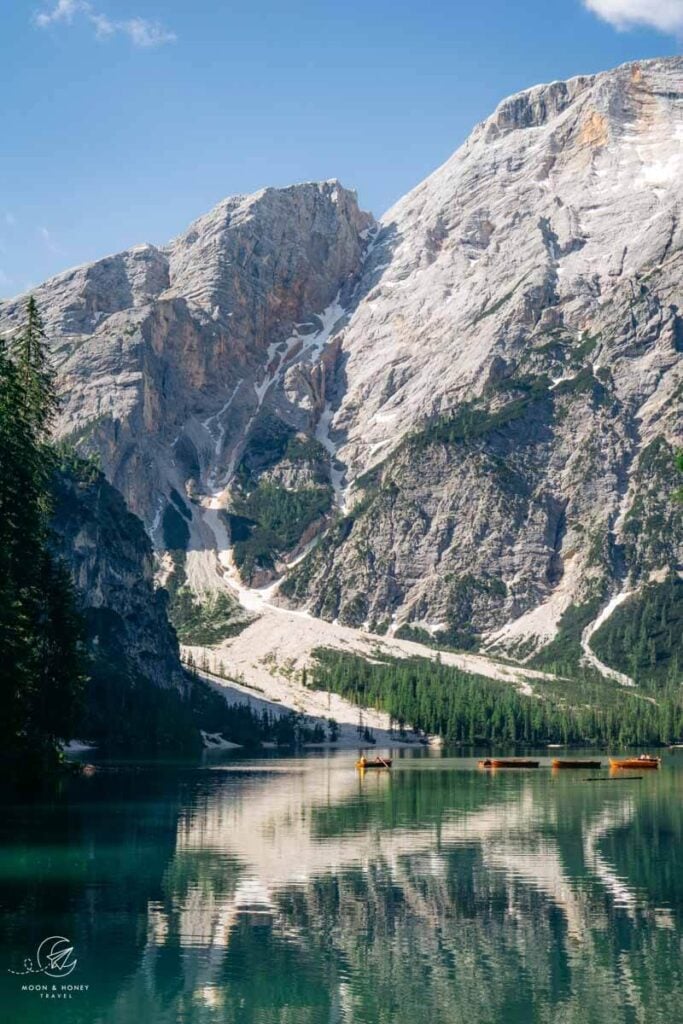
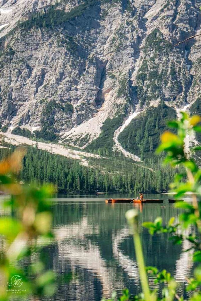
- Stage 1: Lake Braies – Rifugio Sennes
- Stage 2: Rifugio Sennes – Rifugio Fanes/Rifugio Lavarella
- Stage 3: Rifugio Fanes/Rifugio Lavarella – Rifugio Lagazuoi
- Stage 4: Rifugio Lagazuoi – Rifugio Averau
- Stage 5: Rifugio Averau – Passo Giau – Mondeval Plateau – Rifugio Croda da Lago (optional overnight) – Cortina d’Ampezzo
Alpenventures UNGUIDED offers a self-guided 4-Day Alta Via 1 North. Personally, I would ask to extend the hike to Passo Giau and Mondeval Plateau, a true highlight of the route.
Southern Itinerary
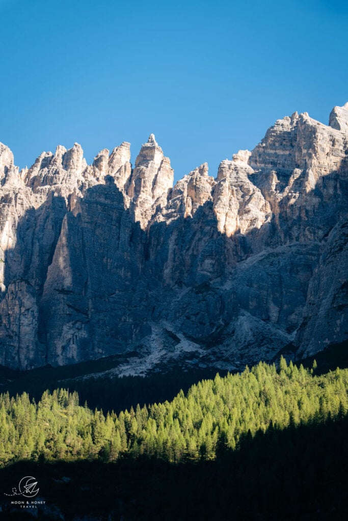
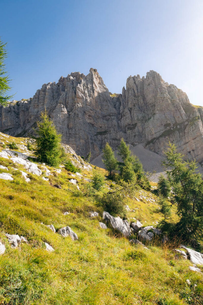
- Stage 1: Taxi from Cortina d’Ampezzo to Passo Giau – Mondeval Plateau – Rifugio Città di Fiume – Rifugio Passo Staulanza
- Stage 2: Rifugio Passo Staulanza – Rifugio Vazzoler
- Stage 3: Rifugio Vazzoler – Rifugio Carestiato – Passo Duran
- Stage 4: Passo Duran – Rifugio Pramperet – Rifugio Pian de Fontana
- Stage 5: Rifugio Pian de Fontana – La Pissa Bus Stop
Check out this self-guided Alta Via 1 South Itinerary, created by Adventure Base. Get a free upgrade on your trip by either filling out this inquiry form or using the coupon code MOONANDHONEY.
Trail Traffic
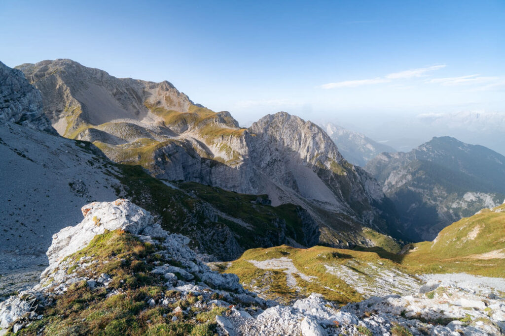
Many stretches of the Northern Stages are easily accessible to day hikers, thanks to the cableways, access roads, and mountain passes. For that reason, the northern half is busier, particularly around the more popular mountain huts like Rifugio Lagazuoi and viewpoints like Cinque Torri.
The Southern Stages are generally quieter, with Rifugio Coldai being the main exception. Beyond Lake Coldai, the number of hikers drops noticeably, and the trail takes on a more lonesome quality.
The biggest change comes after Passo Duran, when the Alta Via 1 enters Dolomiti Bellunesi National Park, the quietest and most remote stretch of the route. With very little infrastructure and few day hikers, the trail feels increasingly quiet and offbeat as it journeys deeper into the park.
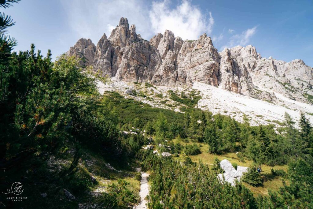
My favorite stretches of the Alta Via 1 are:
- Passo Giau – Mondeval Plateau – Rifugio Città di Fiume (north and south)
- Rifugio Coldai – Rifugio Vazzoler – Rifugio Carestiato (south)
- Rifugio Pramperet – Rifugio Fontana (south)
My least favorite stretches of the Alta Via 1 are:
- Rifugio Biella – Rifugio Sennes (north)
- Passo Staulanza – Rifugio Coldai (south)
Trail Difficulty & Terrain
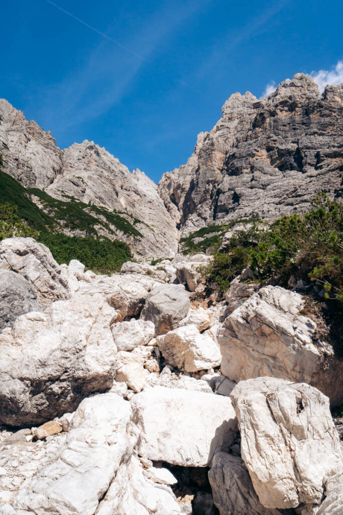
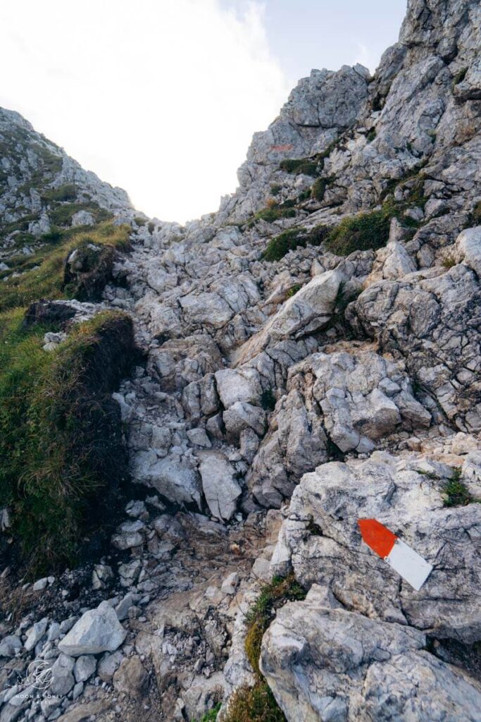
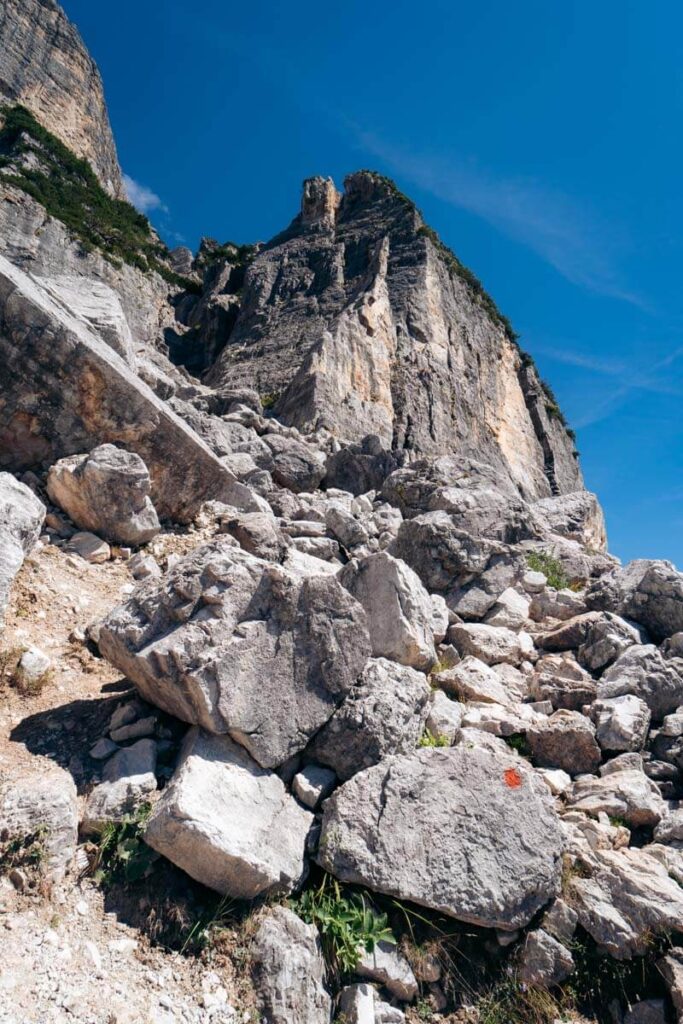
Rifugio Vazzoler to Rifugio Carestiato, Alta Via 1, Dolomites
The most challenging terrain on the Alta Via 1 is found in the southern section, particularly between Rifugio Vazzoler and Rifugio Carestiato, and between Rifugio Pramperet and Rifugio Fontana.
These stages involve boulder-field crossings, scree slopes, some light exposure, and steeper ascents and descents. While none of these sections are highly technical, the rougher, uneven terrain makes them more demanding than much of the northern route.
How you structure your itinerary will also have a significant impact on the overall difficulty. Faster-paced itineraries, with longer daily distances and more elevation gain, will naturally be more strenuous than slower itineraries.
Rifugios: Quality & Density
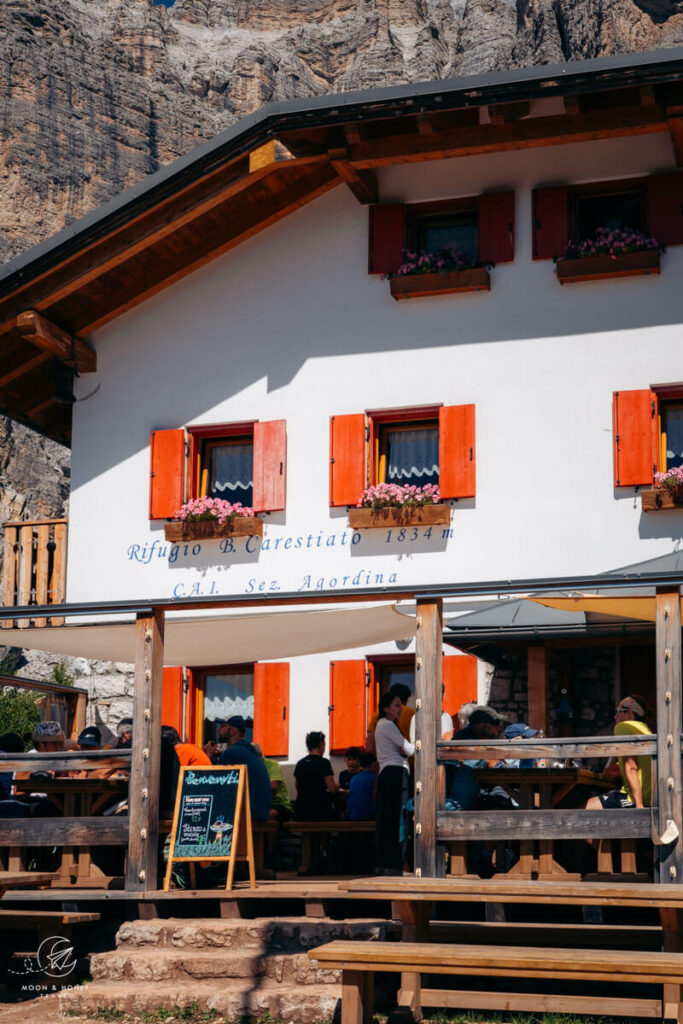
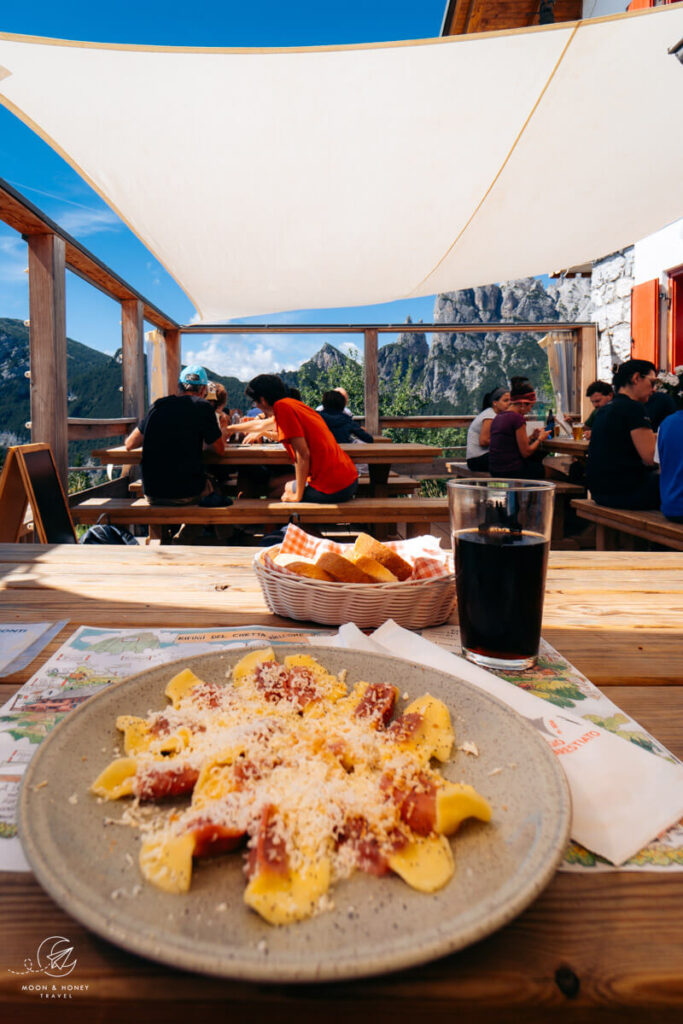
A major difference between the northern and southern stages are the number and quality of the huts. There’s a higher density of Rifugi in the North in the Fanes-Sennes-Braies Nature Park and Cortina ski area.
That means it can be easier to book a Northern Route than a Southern Route, since there are more overnight options for each stage.
Also, many of the huts in the North are privately-owned, rather than owned and managed by regional Alpine Clubs. These private huts offer greater comfort (e.g. more private rooms) and usually better food.
In the south, the huts become increasingly rustic, with simpler food and fewer amenities.
But, no matter where you stay, you can expect welcoming hosts, warm meals, and hot showers.
Navigation
Overall, the trail is well-signed and well-marked across the route. There are a few junctions in the south that are not so obvious. And, along certain sections, the waymarks are badly fading. For that reason, I recommend always referencing a digital offline navigation app and a paper trail map. I’ve explained which ones I used in Solo Hiking the Alta Via 1.
Atmosphere and Camaraderie
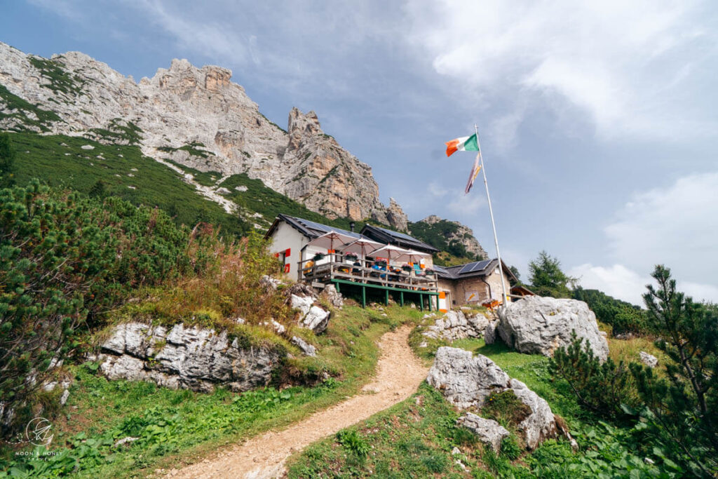
No matter where you are on the route, you’ll experience lively conversation and camaraderie, something that makes the Alta Via 1 truly unique, memorable, and even magical. Of all the hut to hut hikes I’ve done, this was the most social.
However, if you take on the south stages, you may notice that those that started at Lago di Braies are often fatigued by the time they reach Rifugio Vazzoler or Rifugio Carestiato. While that won’t impact the hut atmosphere, some of the hikers may drop off early and not continue all the way to La Pissa.
The Ending


If you hike the Northern Section, you’ll end in Cortina d’Ampezzo, one of the most atmospheric towns in the Dolomites, with plenty of shops, restaurants, bars, and accommodations. It’s a wonderful ending to a short, albeit fantastic adventure.
If you hike the Southern Section, you’ll end at the La Pissa bus stop near Belluno. From there, you can take a bus to Belluno or Agordo. There’s no denying it, this ending is rather anticlimactic and doesn’t feel like a suitable conclusion to such a gorgeous trail.
So, as far as trail endings go, the North wins.
Booking
You can book this trek independently, provided that you start the process early (e.g. October-November the year before), or with a self-guided hiking company. I’ve explained how to do this in detail in my guide to Booking Alta Via 1 Rifugios.
Adventure Base, an Alps-based self-guided and guided hiking company, is offering a special perk just for our readers. Book any of their self-guided or guided treks and claim your reward by filling out this inquiry form or using the coupon code MOONANDHONEY at checkout.
Trekking Guides
Hut-to-Hut Hiking:
- Hut to Hut Hiking in the Dolomites
- 3-Day Tre Cime di Lavaredo Trek
- 3-Day Rosengarten Dolomites Traverse
Day Hiking:
Self-Guided Hiking:
Trekking Europe:
Pin this Image for Future Trip Planning!
Stay Connected:
Connect with us on Pinterest.
Follow us on Instagram.
Like us on Facebook.
Support Us:
If you love reading my content, you can send me a direct donation.