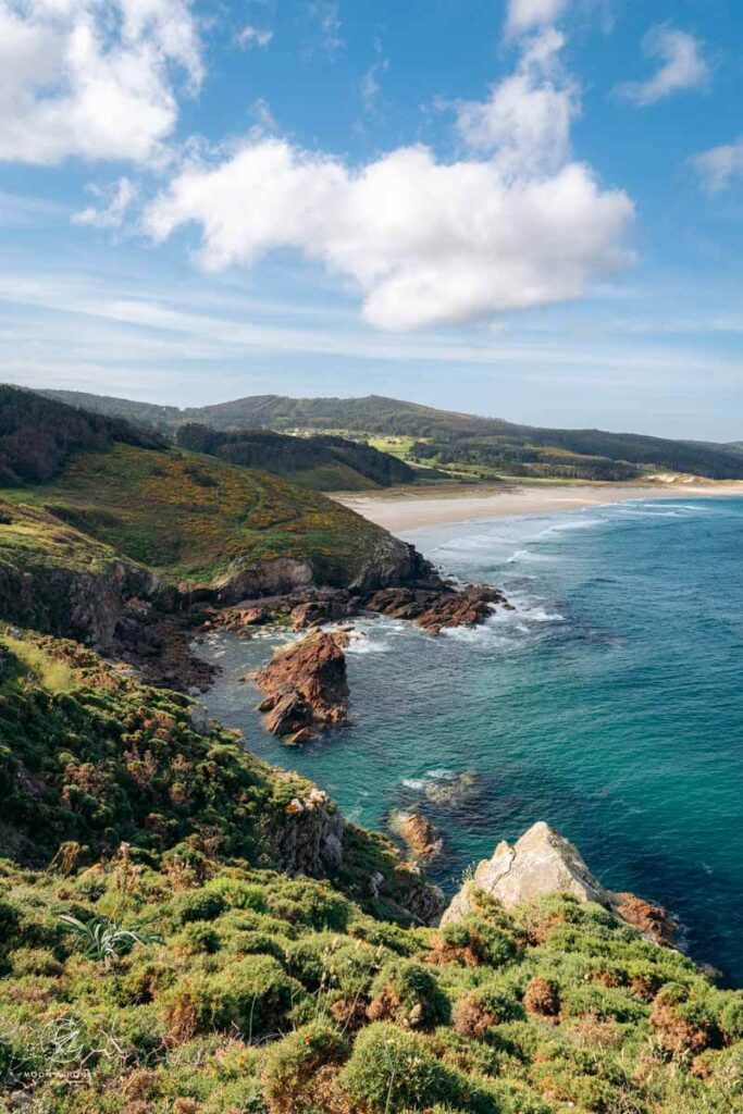
The Camiño dos Faros, or Lighthouse Way, is a 200-km inn-to-inn coastal trail that connects Malpica with Finisterre in Galicia, Spain.
Below, I’m sharing my personal map of the trail with notes, short cuts, restaurant recommendations, and places to stay.
Use this map in combination with my Camiño dos Faros Hiking Guide to plan your trip.
- Where to Stay: Where We Stayed along the Lighthouse Way
- Booking a Self-Guided Trip: Read Why Book a Camino dos Faros Self-Guided Hike
- When to Hike: May, (early June), or September
Lighthouse Way Trail Map
How to use this map | Click the icons and trail lines to display further information. Each color signifies a different stage of the trek.
STAGES
Stage 1
Stage 2
Stage 3
Stage 4
Stage 5
Stage 6
Stage 7
Stage 8
Where to Stay
Europe Hiking Guides
Inn-to-Inn Walking:
Hut to Hut Hiking:
- Hut to Hut Hiking with Kids
- Hut to Hut Hiking in Austria
- Hut to Hut Hiking in Slovenia
- Hut to Hut Hiking in the Dolomites
Multi-Day Trekking:
Coastal Hiking:
Foodie Hiking:


Pin this Image for Future Trip Planning!
Stay Connected:
Connect with us on Pinterest.
Follow us on Instagram.
Support Us:
If you love reading our content, send me a direct donation.